Fuorigrotta night lights from space
Night Light of Fuorigrotta (Campania) from space (Italy) Src. Average luminocity for 10x10km area is 77.7789% and for 50x50km: 41.3447%.
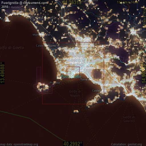
Analysis of Fuorigrotta night lights 2016
Square area 10x10 km:
 29.76%
90-99
24.83%80-89
8.67%70-79
8.84%60-69
3.23%50-59
1.36%40-49
3.57%30-39
7.31%20-29
10.71%10-19
1.7%0-9
0%Square area 50x50 km:
11.72%90-99
10.24%80-89
4.2%70-79
5.12%60-69
5.41%50-59
4.65%40-49
2.7%30-39
4.43%20-29
6.27%10-19
10.87%0-9
34.39%Clear (daylight) street map image can be seen on geolist.org.
Map coordinates:
41° 21' 47.5" North, 13° 29' 48.8" East
40° 49' 60" North, 14° 12' 0" East
40° 17' 57.1" North, 14° 54' 11.3" East
Some cities around Fuorigrotta sort by population:
• Arenella
3.3 km =2.1 mi,  35°
35°
• Pianura
3.6 km =2.2 mi,  321°
321°
• Soccavo
1.5 km =0.9 mi,  335°
335°
• Vomero
2.8 km =1.7 mi,  67°
67°
• Chiaia
2.3 km =1.4 mi,  92°
92°
• Bagnoli
3.5 km =2.2 mi,  230°
230°
• Montecalvario
4 km =2.5 mi, 72°
• Posillipo
2.3 km =1.4 mi,  179°
179°
3176477 (p: 71,808)
Sources (retrieved 2019-11-25):
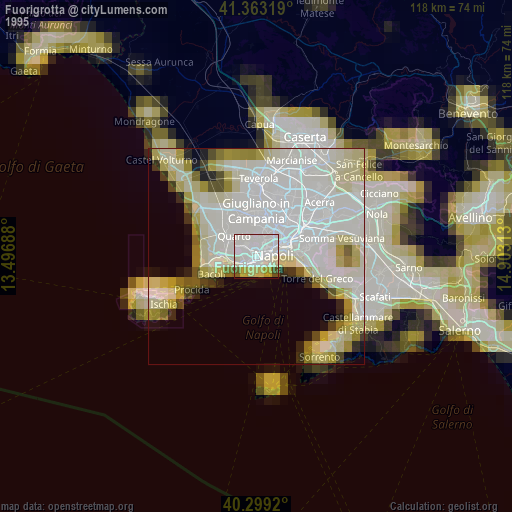
» NASA, Earths city lights 1995
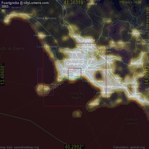
» NASA city lights 2003
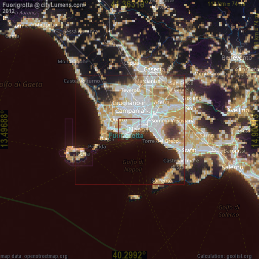
» Earth at Night: Flat Maps 2012, 2016