Vomero night lights from space
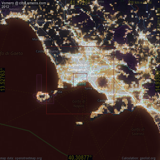
Night Light of Vomero (Campania) from space (Italy) Src. Average luminocity for 10x10km area is 81.1905% and for 50x50km: 44.7819%.
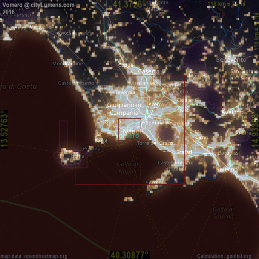
Analysis of Vomero night lights 2016
Square area 10x10 km:
 37.41%
90-99
26.02%80-89
6.8%70-79
4.76%60-69
2.55%50-59
1.53%40-49
3.4%30-39
7.65%20-29
9.52%10-19
0.34%0-9
0%Square area 50x50 km:
12.37%90-99
11.19%80-89
4.64%70-79
5.98%60-69
6.21%50-59
4.63%40-49
2.95%30-39
4.82%20-29
6.92%10-19
10.92%0-9
29.39%Clear (daylight) street map image can be seen on geolist.org.
Map coordinates:
41° 22' 21.4" North, 13° 31' 39.5" East
40° 50' 34.2" North, 14° 13' 50.7" East
40° 18' 31.6" North, 14° 56' 2" East
Some cities around Vomero sort by population:
• Arenella
1.7 km =1.1 mi,  337°
337°
• Chiaia
1.2 km =0.7 mi,  196°
196°
• Avvocata
1.7 km =1.1 mi,  39°
39°
• Stella
2.7 km =1.7 mi, 42°
• Montecalvario
1.3 km =0.8 mi,  82°
82°
• San Ferdinando
1.8 km =1.1 mi,  126°
126°
• Pendino
2.8 km =1.7 mi, 80°
• San Giuseppe
1.8 km =1.1 mi, 81°
3163948 (p: 44,791)
Sources (retrieved 2019-11-25):
» Earth at Night: Flat Maps 2012, 2016