Follonica night lights from space
Night Light of Follonica (Tuscany) from space (Italy) Src. Average luminocity for 10x10km area is 25.3063% and for 50x50km: 5.4351%.
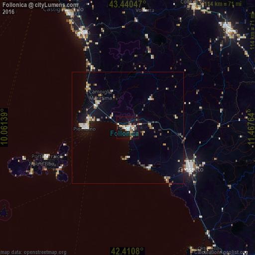
Analysis of Follonica night lights 2016
Square area 10x10 km:
 3.49%
3.49%90-99
5.4%80-89
2.22%70-79
3.33%60-69
3.02%50-59
2.06%40-49
3.81%30-39
1.75%20-29
1.27%10-19
34.92%0-9
38.73%Square area 50x50 km:
0.61%90-99
0.98%80-89
0.45%70-79
0.61%60-69
0.71%50-59
0.51%40-49
0.66%30-39
0.56%20-29
0.44%10-19
4.46%0-9
90.02%Clear (daylight) street map image can be seen on geolist.org.
Map coordinates:
43° 26' 25.7" North, 10° 3' 41" East
42° 55' 40" North, 10° 45' 52.2" East
42° 24' 38.9" North, 11° 28' 3.5" East
Some cities around Follonica sort by population:
• Grosseto
33.6 km =20.9 mi,  123°
123°
• Piombino
19.4 km =12.1 mi,  269°
269°
• Cecina
46.6 km =29 mi,  334°
334°
• Venturina
17.4 km =10.8 mi,  310°
310°
• Portoferraio
39 km =24.2 mi,  250°
250°
• San Vincenzo
25.6 km =15.9 mi,  315°
315°
• Massa Marittima
16.9 km =10.5 mi,  38°
38°
• Donoratico
31.3 km =19.4 mi, 329°
3176849 (p: 21,163)
Sources (retrieved 2019-11-25):
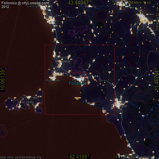
» Earth at Night: Flat Maps 2012, 2016