Castelfranco Veneto night lights from space
Night Light of Castelfranco Veneto (Veneto) from space (Italy) Src. Average luminocity for 10x10km area is 56.0318% and for 50x50km: 48.0628%.
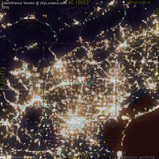
Analysis of Castelfranco Veneto night lights 2016
Square area 10x10 km:
 6.06%
6.06%90-99
10.3%80-89
4.09%70-79
5.61%60-69
7.12%50-59
16.67%40-49
25.76%30-39
15.3%20-29
9.09%10-19
0%0-9
0%Square area 50x50 km:
5.45%90-99
7.97%80-89
4.85%70-79
5.84%60-69
8.99%50-59
12.01%40-49
11.18%30-39
10.54%20-29
15.93%10-19
10.55%0-9
6.69%Clear (daylight) street map image can be seen on geolist.org.
Map coordinates:
46° 9' 38.3" North, 11° 13' 27.9" East
45° 40' 17.3" North, 11° 55' 39.2" East
45° 10' 40.7" North, 12° 37' 50.4" East
Some cities around Castelfranco Veneto sort by population:
• Cittadella
11.5 km =7.1 mi,  255°
255°
• San Martino di Lupari
5.7 km =3.5 mi,  246°
246°
• Camposampiero
12 km =7.5 mi,  177°
177°
• Trebaseleghe
12.6 km =7.8 mi,  133°
133°
• Tombolo
8.8 km =5.5 mi, 245°
• Rossano Veneto
10.2 km =6.3 mi,  290°
290°
• Belvedere
12.3 km =7.6 mi,  279°
279°
• Galliera Veneta
8.2 km =5.1 mi,  266°
266°
3179684 (p: 25,545)
Sources (retrieved 2019-11-25):
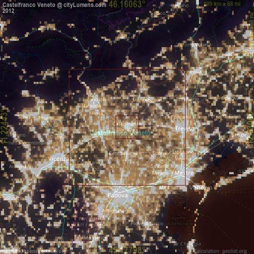
» Earth at Night: Flat Maps 2012, 2016