Cascina night lights from space
Night Light of Cascina (Tuscany) from space (Italy) Src. Average luminocity for 10x10km area is 50.9258% and for 50x50km: 31.3861%.
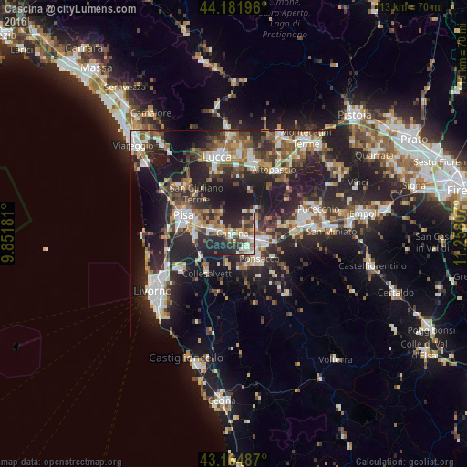
Analysis of Cascina night lights 2016
Square area 10x10 km:
 7.27%
7.27%90-99
10.3%80-89
5.45%70-79
7.12%60-69
8.79%50-59
6.82%40-49
8.94%30-39
6.06%20-29
29.39%10-19
9.85%0-9
0%Square area 50x50 km:
4.65%90-99
5.98%80-89
2.72%70-79
3.36%60-69
3.7%50-59
4.34%40-49
5.36%30-39
5.57%20-29
14.05%10-19
20.69%0-9
29.57%Clear (daylight) street map image can be seen on geolist.org.
Map coordinates:
44° 10' 55.1" North, 9° 51' 6.5" East
43° 40' 32.1" North, 10° 33' 17.8" East
43° 9' 53.5" North, 11° 15' 29.1" East
Some cities around Cascina sort by population:
• Pisa
12.7 km =7.9 mi,  286°
286°
• Pontedera
6.3 km =3.9 mi,  104°
104°
• Ponsacco
8.2 km =5.1 mi,  135°
135°
• Castelfranco di Sotto
15.7 km =9.8 mi,  78°
78°
• Santa Maria a Monte
11.6 km =7.2 mi,  71°
71°
• Fornacette
2.5 km =1.6 mi, 103°
• Vicopisano
3 km =1.9 mi,  49°
49°
• Bientina
6.4 km =4 mi,  55°
55°
3179977 (p: 40,512)
Sources (retrieved 2019-11-25):
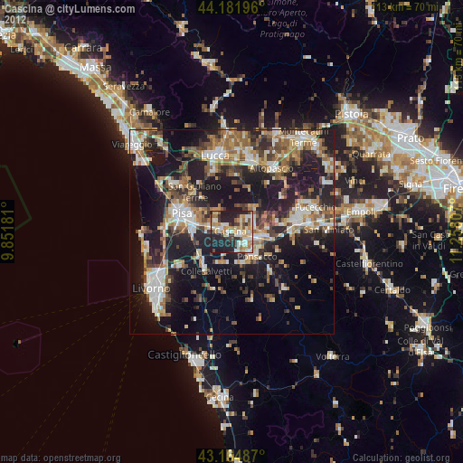
» Earth at Night: Flat Maps 2012, 2016