Casal di Principe night lights from space
Night Light of Casal di Principe (Campania) from space (Italy) Src. Average luminocity for 10x10km area is 50.7075% and for 50x50km: 42.5948%.
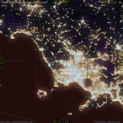
Analysis of Casal di Principe night lights 2016
Square area 10x10 km:
 12.07%
90-99
11.22%80-89
3.23%70-79
4.93%60-69
5.1%50-59
5.1%40-49
6.97%30-39
10.2%20-29
25.17%10-19
15.99%0-9
0%Square area 50x50 km:
11.43%90-99
10.48%80-89
4.24%70-79
4.96%60-69
4.43%50-59
4.53%40-49
3.36%30-39
4.69%20-29
7.91%10-19
18.69%0-9
25.29%Clear (daylight) street map image can be seen on geolist.org.
Map coordinates:
41° 32' 18.2" North, 13° 25' 37.2" East
41° 0' 35.9" North, 14° 7' 48.5" East
40° 28' 38.1" North, 14° 49' 59.7" East
Some cities around Casal di Principe sort by population:
• Trentola-Ducenta
5.4 km =3.4 mi,  135°
135°
• San Cipriano d'Aversa
1.2 km =0.7 mi,  173°
173°
• San Marcellino
4.4 km =2.7 mi,  120°
120°
• Parete
6.3 km =3.9 mi,  154°
154°
• Villa Literno
4.5 km =2.8 mi,  269°
269°
• Frignano
4.3 km =2.7 mi,  107°
107°
• Casapesenna
2.1 km =1.3 mi, 166°
• Villa di Briano
2.8 km =1.7 mi, 113°
3180240 (p: 20,589)
Sources (retrieved 2019-11-25):
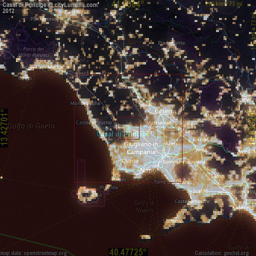
» Earth at Night: Flat Maps 2012, 2016