Capo d'Orlando night lights from space
Night Light of Capo d'Orlando (Sicily) from space (Italy) Src. Average luminocity for 10x10km area is 26.3571% and for 50x50km: 5.7685%.
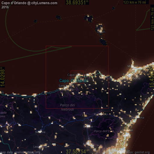
Analysis of Capo d'Orlando night lights 2016
Square area 10x10 km:
 1.02%
1.02%90-99
2.38%80-89
2.72%70-79
4.08%60-69
7.82%50-59
4.42%40-49
3.23%30-39
4.93%20-29
2.89%10-19
34.86%0-9
31.63%Square area 50x50 km:
0.21%90-99
0.47%80-89
0.96%70-79
0.74%60-69
0.93%50-59
0.64%40-49
0.62%30-39
1.37%20-29
1.07%10-19
6.76%0-9
86.21%Clear (daylight) street map image can be seen on geolist.org.
Map coordinates:
38° 41' 36.6" North, 14° 1' 47.3" East
38° 8' 33.4" North, 14° 43' 58.5" East
37° 35' 15.1" North, 15° 26' 9.8" East
Some cities around Capo d'Orlando sort by population:
• Barcellona Pozzo di Gotto
42.1 km =26.2 mi,  89°
89°
• Milazzo
45.2 km =28.1 mi,  79°
79°
• Bronte
40.3 km =25 mi,  167°
167°
• Randazzo
35.1 km =21.8 mi,  147°
147°
• Sant'Agata di Militello
11.8 km =7.3 mi,  225°
225°
• Patti
20.2 km =12.6 mi, 88°
• Troina
41.6 km =25.8 mi,  196°
196°
• Terme
37.1 km =23.1 mi, 91°
2525384 (p: 12,038)
Sources (retrieved 2019-11-25):
» Earth at Night: Flat Maps 2012, 2016