Aversa night lights from space
Night Light of Aversa (Campania) from space (Italy) Src. Average luminocity for 10x10km area is 92.8095% and for 50x50km: 48.29%.
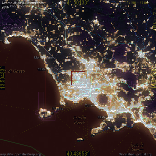
Analysis of Aversa night lights 2016
Square area 10x10 km:
 43.71%
90-99
31.29%80-89
7.14%70-79
11.39%60-69
4.59%50-59
1.87%40-49
0%30-39
0%20-29
0%10-19
0%0-9
0%Square area 50x50 km:
12.39%90-99
11.79%80-89
4.8%70-79
6.28%60-69
6.22%50-59
5.34%40-49
3.78%30-39
5.99%20-29
8.03%10-19
16.83%0-9
18.56%Clear (daylight) street map image can be seen on geolist.org.
Map coordinates:
41° 30' 4.8" North, 13° 30' 15.6" East
40° 58' 21.3" North, 14° 12' 26.8" East
40° 26' 22.5" North, 14° 54' 38.1" East
Some cities around Aversa sort by population:
• Trentola-Ducenta
2.7 km =1.7 mi,  275°
275°
• Lusciano
1.5 km =0.9 mi,  258°
258°
• San Marcellino
3.3 km =2.1 mi,  306°
306°
• Teverola
2.6 km =1.6 mi,  0°
0°
• Gricignano di Aversa
2.1 km =1.3 mi,  68°
68°
• Casaluce
2.9 km =1.8 mi,  342°
342°
• Cesa
2.2 km =1.4 mi,  118°
118°
• Carinaro
1.5 km =0.9 mi,  41°
41°
3182640 (p: 52,830)
Sources (retrieved 2019-11-25):
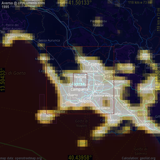
» NASA, Earths city lights 1995
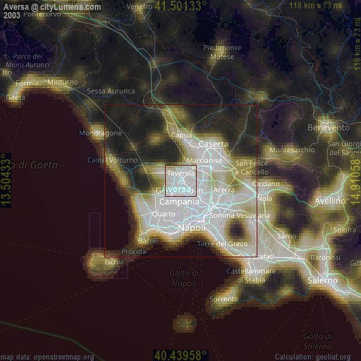
» NASA city lights 2003
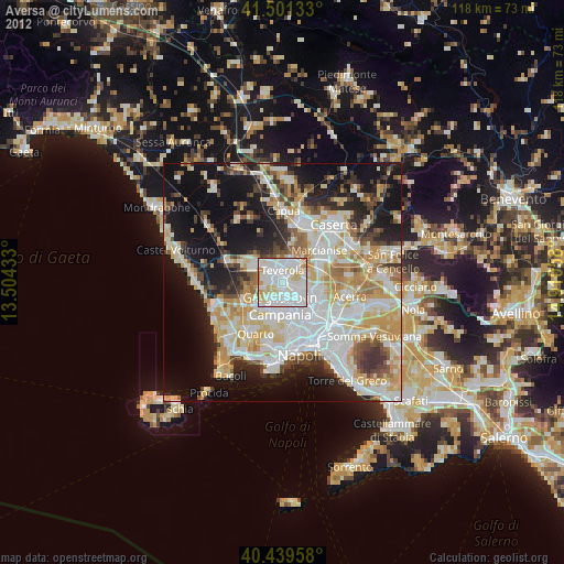
» Earth at Night: Flat Maps 2012, 2016