Alba night lights from space
Night Light of Alba (Piedmont) from space (Italy) Src. Average luminocity for 10x10km area is 42.0061% and for 50x50km: 17.8199%.
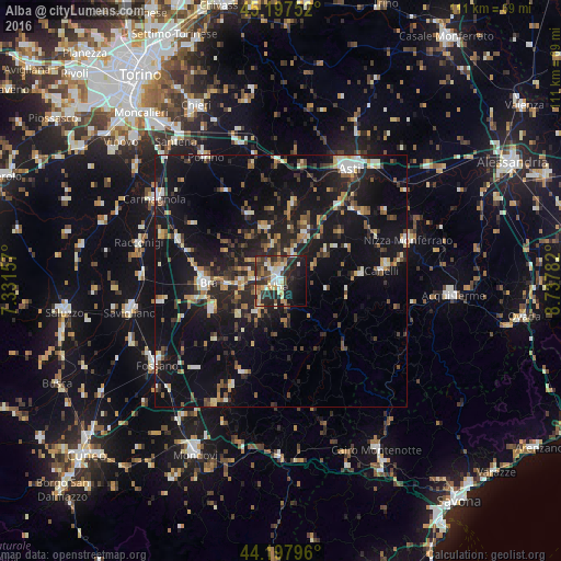
Analysis of Alba night lights 2016
Square area 10x10 km:
 5%
5%90-99
6.52%80-89
6.67%70-79
6.82%60-69
5.3%50-59
3.79%40-49
6.36%30-39
8.18%20-29
21.82%10-19
20.76%0-9
8.79%Square area 50x50 km:
1.42%90-99
2.52%80-89
1.86%70-79
1.94%60-69
2.1%50-59
2.27%40-49
2.58%30-39
3.01%20-29
6.27%10-19
20.1%0-9
55.93%Clear (daylight) street map image can be seen on geolist.org.
Map coordinates:
45° 11' 51.1" North, 7° 19' 53.7" East
44° 41' 59.6" North, 8° 2' 4.9" East
44° 11' 52.7" North, 8° 44' 16.2" East
Some cities around Alba sort by population:
• Asti
26.2 km =16.3 mi,  31°
31°
• Bra
14.5 km =9 mi,  269°
269°
• Carmagnola
29.9 km =18.6 mi,  303°
303°
• Racconigi
29 km =18 mi,  284°
284°
• Canelli
20.5 km =12.7 mi,  83°
83°
• Nizza Monferrato
26.8 km =16.7 mi,  72°
72°
• Poirino
28.7 km =17.8 mi,  328°
328°
• Sommariva del Bosco
21.5 km =13.4 mi,  292°
292°
3183364 (p: 24,923)
Sources (retrieved 2019-11-25):
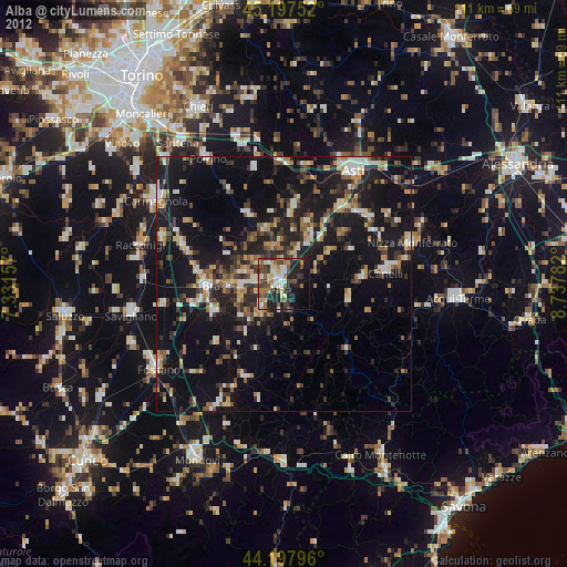
» Earth at Night: Flat Maps 2012, 2016