Shamsābād night lights from space
Night Light of Shamsābād (Uttar Pradesh) from space (India) Src. Average luminocity for 10x10km area is 3.621% and for 50x50km: 5.9072%.
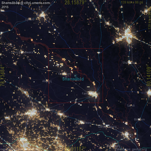
Analysis of Shamsābād night lights 2016
Square area 10x10 km:
 0%
0%90-99
0.79%80-89
0.4%70-79
1.19%60-69
0%50-59
0%40-49
0.79%30-39
0.4%20-29
0%10-19
0%0-9
96.43%Square area 50x50 km:
0.31%90-99
0.94%80-89
1.43%70-79
0.99%60-69
0.33%50-59
0.39%40-49
0.61%30-39
0.41%20-29
0.65%10-19
4.46%0-9
89.49%Clear (daylight) street map image can be seen on geolist.org.
Map coordinates:
28° 9' 31.6" North, 78° 44' 5.4" East
27° 32' 13.6" North, 79° 26' 16.7" East
26° 54' 42.7" North, 80° 8' 27.9" East
Some cities around Shamsābād sort by population:
• Farrukhābād
21.4 km =13.3 mi,  139°
139°
• Jalālābād
30 km =18.6 mi,  45°
45°
• Kaimganj
10.3 km =6.4 mi,  280°
280°
• Alīganj
26.7 km =16.6 mi,  259°
259°
• Muhammadābād
25.4 km =15.8 mi,  181°
181°
• Fatehgarh
27.1 km =16.8 mi, 135°
• Allāhganj
24.6 km =15.3 mi,  87°
87°
• Kampil
18 km =11.2 mi,  297°
297°
1256659 (p: 25,266)
Sources (retrieved 2019-11-25):
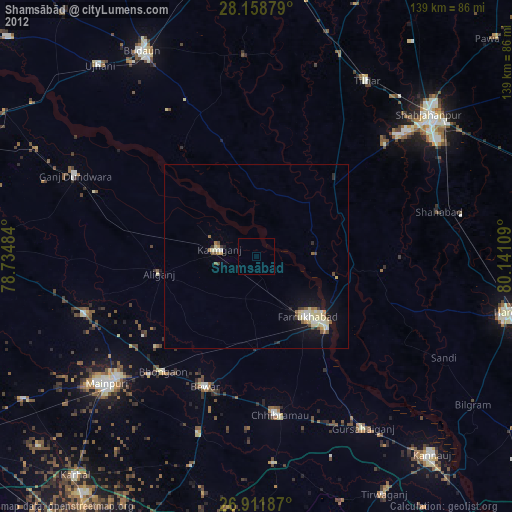
» Earth at Night: Flat Maps 2012, 2016