Rāmgundam night lights from space
Night Light of Rāmgundam (Telangana) from space (India) Src. Average luminocity for 10x10km area is 55.4004% and for 50x50km: 19.6441%.
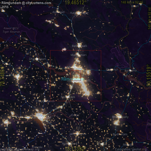
Analysis of Rāmgundam night lights 2016
Square area 10x10 km:
 9.31%
9.31%90-99
9.96%80-89
5.19%70-79
9.96%60-69
5.84%50-59
9.52%40-49
12.99%30-39
12.99%20-29
20.56%10-19
3.68%0-9
0%Square area 50x50 km:
2.51%90-99
3.02%80-89
1.64%70-79
2.14%60-69
2.9%50-59
3.02%40-49
3.91%30-39
4.3%20-29
6.21%10-19
11.78%0-9
58.57%Clear (daylight) street map image can be seen on geolist.org.
Map coordinates:
19° 27' 54.4" North, 78° 44' 56.2" East
18° 48' 3" North, 79° 27' 7.4" East
18° 8' 2.1" North, 80° 9' 18.7" East
Some cities around Rāmgundam sort by population:
• Ramagundam
5.6 km =3.5 mi,  155°
155°
• Mancherāl
8.2 km =5.1 mi,  342°
342°
• Bellampalli
28.7 km =17.8 mi,  8°
8°
• Mandamarri
18.4 km =11.4 mi, 7°
• Peddapalli
22.4 km =13.9 mi,  201°
201°
• Manthani
27.9 km =17.3 mi,  126°
126°
• Nāspur
5.1 km =3.2 mi, 11°
• Lakshettipet
25.8 km =16 mi,  286°
286°
1258662 (p: 452,261)
Sources (retrieved 2019-11-25):
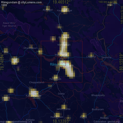
» NASA, Earths city lights 1995
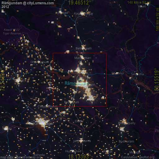
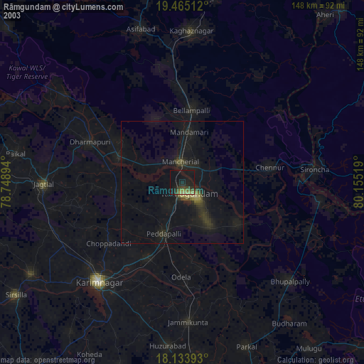
» NASA city lights 2003
» Earth at Night: Flat Maps 2012, 2016