Pilāni night lights from space
Night Light of Pilāni (Rajasthan) from space (India) Src. Average luminocity for 10x10km area is 17.8869% and for 50x50km: 2.8076%.
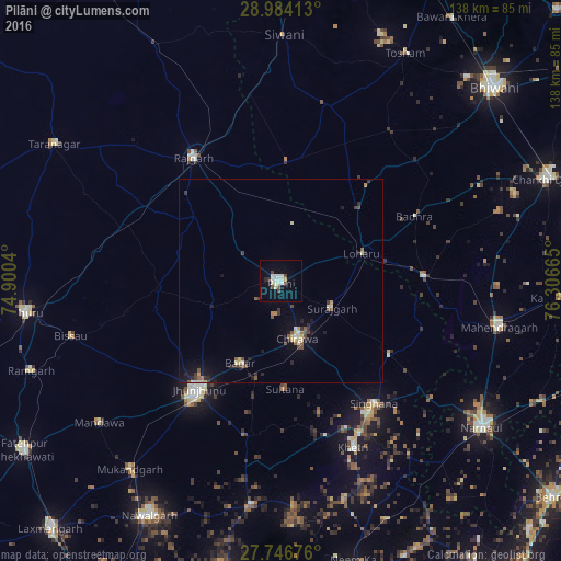
Analysis of Pilāni night lights 2016
Square area 10x10 km:
 2.58%
2.58%90-99
6.35%80-89
2.18%70-79
0%60-69
0%50-59
1.39%40-49
3.17%30-39
0.99%20-29
0.79%10-19
6.15%0-9
76.39%Square area 50x50 km:
0.12%90-99
0.43%80-89
0.51%70-79
0.18%60-69
0.15%50-59
0.48%40-49
0.51%30-39
0.42%20-29
0.57%10-19
1.42%0-9
95.21%Clear (daylight) street map image can be seen on geolist.org.
Map coordinates:
28° 59' 2.9" North, 74° 54' 1.4" East
28° 22' 2.1" North, 75° 36' 12.7" East
27° 44' 48.3" North, 76° 18' 23.9" East
Some cities around Pilāni sort by population:
• Jhunjhunūn
33.6 km =20.9 mi,  216°
216°
• Rājgarh
37.2 km =23.1 mi,  325°
325°
• Chidawa
14.7 km =9.1 mi,  165°
165°
• Bissāu
53.3 km =33.1 mi,  255°
255°
• Sūrajgarh
14.2 km =8.8 mi,  116°
116°
• Khetri
44.5 km =27.7 mi,  156°
156°
• Bagar
22.4 km =13.9 mi,  206°
206°
• Lohāru
21.2 km =13.2 mi,  70°
70°
1259693 (p: 28,149)
Sources (retrieved 2019-11-25):
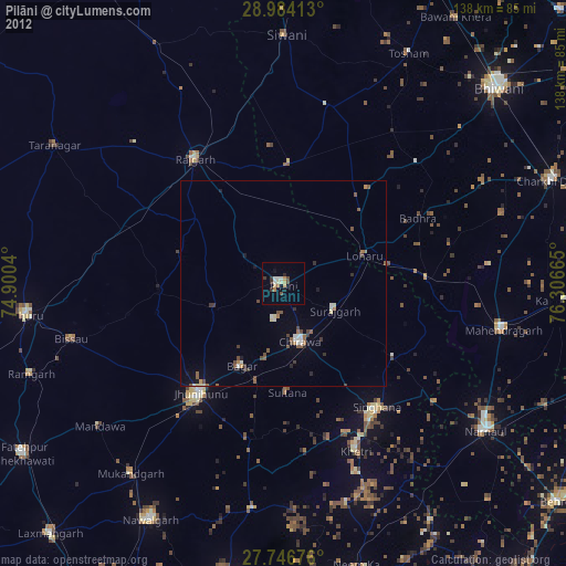
» Earth at Night: Flat Maps 2012, 2016