Nanded night lights from space
Night Light of Nanded (Maharashtra) from space (India) Src. Average luminocity for 10x10km area is 85.5303% and for 50x50km: 12.3021%.
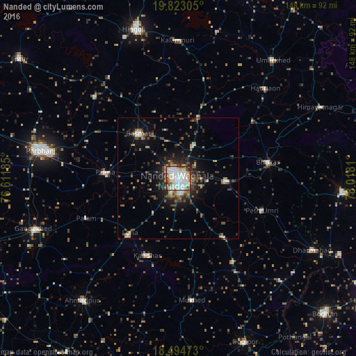
Analysis of Nanded night lights 2016
Square area 10x10 km:
 33.33%
90-99
30.74%80-89
6.93%70-79
6.49%60-69
3.68%50-59
10.39%40-49
5.19%30-39
2.38%20-29
0.87%10-19
0%0-9
0%Square area 50x50 km:
1.65%90-99
1.74%80-89
1.05%70-79
1.18%60-69
1.44%50-59
1.99%40-49
2.12%30-39
2.71%20-29
3.54%10-19
6.62%0-9
75.96%Clear (daylight) street map image can be seen on geolist.org.
Map coordinates:
19° 49' 23" North, 76° 36' 42.7" East
19° 9' 36.8" North, 77° 18' 53.9" East
18° 29' 41" North, 78° 1' 5.2" East
Some cities around Nanded sort by population:
• Parbhani
58.4 km =36.3 mi,  281°
281°
• Basmat
25 km =15.5 mi,  318°
318°
• Pūrna
30.5 km =19 mi,  274°
274°
• Mukher
50.8 km =31.6 mi,  173°
173°
• Hadgāon
51.9 km =32.2 mi,  44°
44°
• Kalamnūri
57.1 km =35.5 mi,  359°
359°
• Mudkhed
19.8 km =12.3 mi,  91°
91°
• Biloli
60.8 km =37.8 mi,  134°
134°
1261977 (p: 550,564)
Sources (retrieved 2019-11-25):
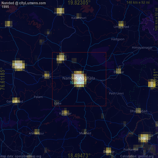
» NASA, Earths city lights 1995
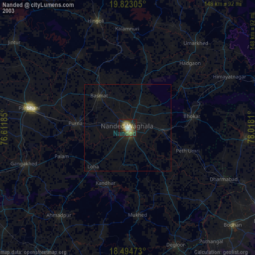
» NASA city lights 2003
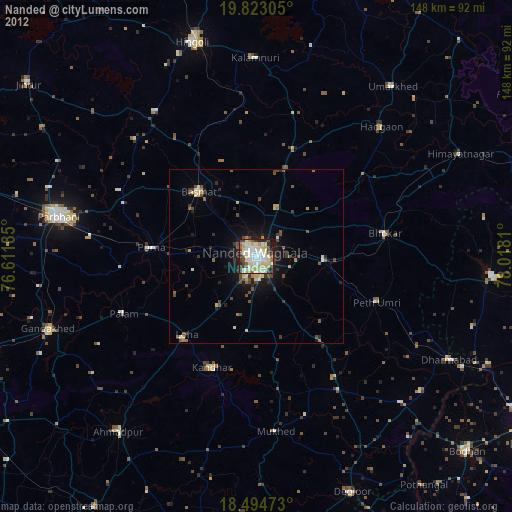
» Earth at Night: Flat Maps 2012, 2016