Kurandvād night lights from space
Night Light of Kurandvād (Maharashtra) from space (India) Src. Average luminocity for 10x10km area is 10.974% and for 50x50km: 20.8717%.
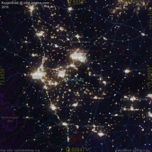
Analysis of Kurandvād night lights 2016
Square area 10x10 km:
 0%
0%90-99
1.52%80-89
0.22%70-79
0%60-69
1.73%50-59
1.73%40-49
3.03%30-39
1.3%20-29
1.3%10-19
13.42%0-9
75.76%Square area 50x50 km:
2.13%90-99
3.7%80-89
1.8%70-79
1.03%60-69
2.55%50-59
3.52%40-49
4.18%30-39
4.94%20-29
7.51%10-19
11.54%0-9
57.09%Clear (daylight) street map image can be seen on geolist.org.
Map coordinates:
17° 21' 19.8" North, 73° 53' 8.9" East
16° 40' 59.4" North, 74° 35' 20.1" East
16° 0' 30.5" North, 75° 17' 31.4" East
Some cities around Kurandvād sort by population:
• Sāngli
19.2 km =11.9 mi,  352°
352°
• Ichalkaranji
13.7 km =8.5 mi,  273°
273°
• Jaisingpur
11 km =6.8 mi,  340°
340°
• Chikodi
28.3 km =17.6 mi,  180°
180°
• Shiraguppi
14.7 km =9.1 mi,  119°
119°
• Sadalgi
15.1 km =9.4 mi,  203°
203°
• Kudachi
28.9 km =18 mi,  102°
102°
• Bhudgaon
25 km =15.5 mi,  2°
2°
1265539 (p: 21,388)
Sources (retrieved 2019-11-25):
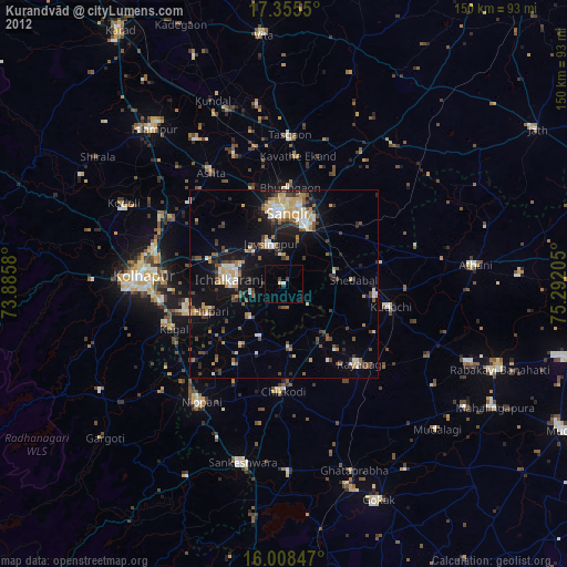
» Earth at Night: Flat Maps 2012, 2016