Ichalkaranji night lights from space
Night Light of Ichalkaranji (Maharashtra) from space (India) Src. Average luminocity for 10x10km area is 61.6385% and for 50x50km: 27.214%.
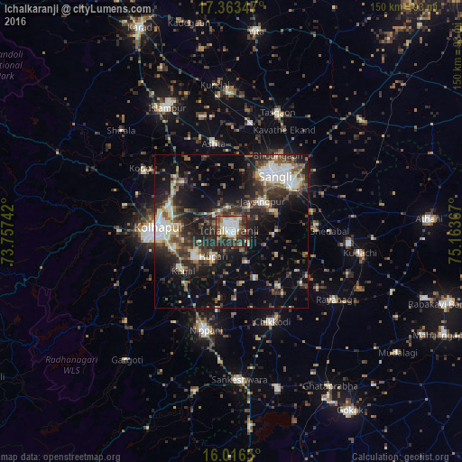
Analysis of Ichalkaranji night lights 2016
Square area 10x10 km:
 11.04%
90-99
18.18%80-89
10.39%70-79
2.6%60-69
7.79%50-59
4.98%40-49
13.2%30-39
10.39%20-29
19.91%10-19
1.52%0-9
0%Square area 50x50 km:
3%90-99
5.36%80-89
2.85%70-79
1.29%60-69
3.43%50-59
4.27%40-49
5.22%30-39
6.38%20-29
10.15%10-19
15.29%0-9
42.78%Clear (daylight) street map image can be seen on geolist.org.
Map coordinates:
17° 21' 48.5" North, 73° 45' 26.7" East
16° 41' 28.2" North, 74° 27' 37.9" East
16° 0' 59.4" North, 75° 9' 49.2" East
Some cities around Ichalkaranji sort by population:
• Sāngli
21.2 km =13.2 mi,  31°
31°
• Kolhāpur
24.4 km =15.2 mi,  271°
271°
• Jaisingpur
13.7 km =8.5 mi,  46°
46°
• Kāgal
20 km =12.4 mi,  230°
230°
• Shiraguppi
27.7 km =17.2 mi,  106°
106°
• Sadalgi
16.6 km =10.3 mi,  152°
152°
• Kurandvād
13.7 km =8.5 mi,  93°
93°
• Bhudgaon
28.2 km =17.5 mi, 31°
1269834 (p: 274,383)
Sources (retrieved 2019-11-25):
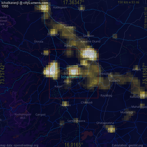
» NASA, Earths city lights 1995
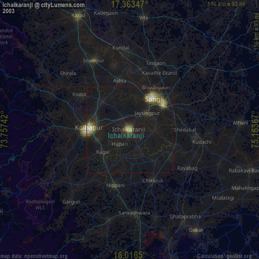
» NASA city lights 2003
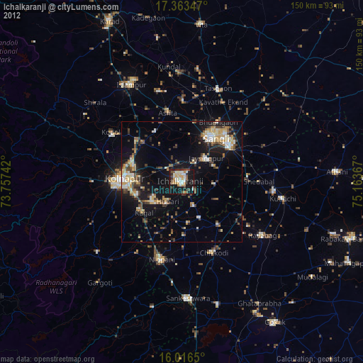
» Earth at Night: Flat Maps 2012, 2016