Igatpuri night lights from space
Night Light of Igatpuri (Maharashtra) from space (India) Src. Average luminocity for 10x10km area is 22.7397% and for 50x50km: 5.7768%.
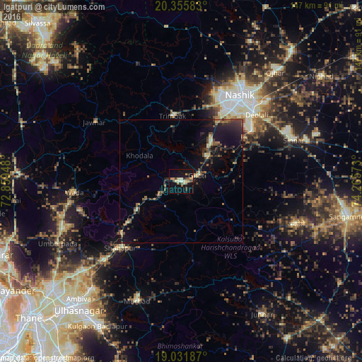
Analysis of Igatpuri night lights 2016
Square area 10x10 km:
 0%
0%90-99
5.37%80-89
2.89%70-79
4.96%60-69
2.48%50-59
1.65%40-49
3.93%30-39
1.86%20-29
2.69%10-19
24.38%0-9
49.79%Square area 50x50 km:
0.02%90-99
0.57%80-89
0.58%70-79
0.56%60-69
0.92%50-59
1.1%40-49
1.15%30-39
1.12%20-29
1.82%10-19
6.16%0-9
86.01%Clear (daylight) street map image can be seen on geolist.org.
Map coordinates:
20° 21' 21" North, 72° 51' 34.1" East
19° 41' 42.8" North, 73° 33' 45.4" East
19° 1' 54.7" North, 74° 15' 56.6" East
Some cities around Igatpuri sort by population:
• Nashik
41.2 km =25.6 mi,  35°
35°
• Deolāli
39.7 km =24.7 mi,  45°
45°
• Ghoti Budrukh
7.3 km =4.5 mi,  71°
71°
• Vasind
44.8 km =27.8 mi,  224°
224°
• Vāda
43.6 km =27.1 mi,  263°
263°
• Jawhār
42.6 km =26.5 mi,  304°
304°
• Shāhāpur
36.7 km =22.8 mi, 222°
• Trimbak
26.6 km =16.5 mi,  352°
352°
1269810 (p: 35,461)
Sources (retrieved 2019-11-25):
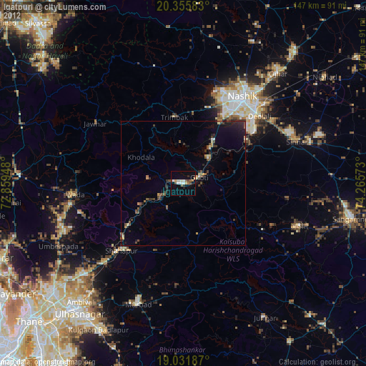
» Earth at Night: Flat Maps 2012, 2016