Bangaon night lights from space
Night Light of Bangaon (Bihar) from space (India) Src. Average luminocity for 10x10km area is 40.7197% and for 50x50km: 28.3469%.
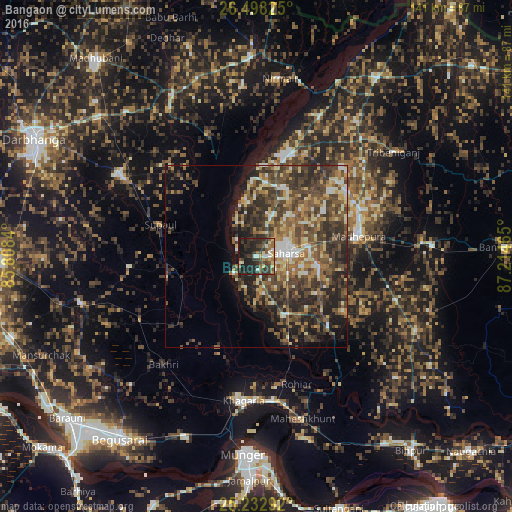
Analysis of Bangaon night lights 2016
Square area 10x10 km:
 3.41%
3.41%90-99
4.36%80-89
5.87%70-79
3.6%60-69
5.11%50-59
7.77%40-49
7.95%30-39
17.05%20-29
24.05%10-19
20.83%0-9
0%Square area 50x50 km:
2.17%90-99
3.62%80-89
3.41%70-79
3.21%60-69
4.35%50-59
6.5%40-49
8.6%30-39
9.02%20-29
9.8%10-19
8.19%0-9
41.12%Clear (daylight) street map image can be seen on geolist.org.
Map coordinates:
26° 29' 53.7" North, 85° 48' 30.2" East
25° 52' 2.2" North, 86° 30' 41.5" East
25° 13' 58.5" North, 87° 12' 52.7" East
Some cities around Bangaon sort by population:
• Saharsa
8.5 km =5.3 mi,  84°
84°
• Supaul
28.8 km =17.9 mi,  16°
16°
• Madhipura
28.8 km =17.9 mi, 77°
• Khagaria
40.8 km =25.4 mi,  186°
186°
• Bihārīganj
50 km =31.1 mi,  107°
107°
• Jhanjhārpur
49.9 km =31 mi,  332°
332°
• Murlīganj
48.6 km =30.2 mi,  86°
86°
• Nirmāli
50.2 km =31.2 mi,  8°
8°
1277322 (p: 60,000)
Sources (retrieved 2019-11-25):
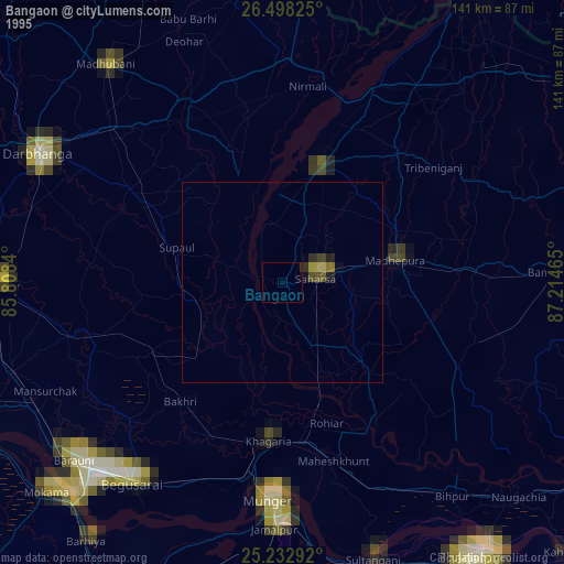
» NASA, Earths city lights 1995
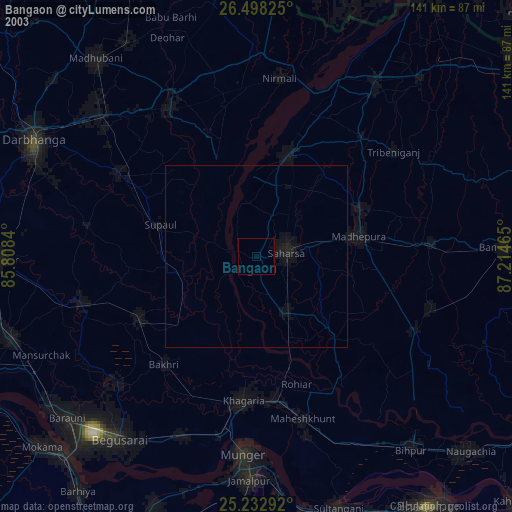
» NASA city lights 2003
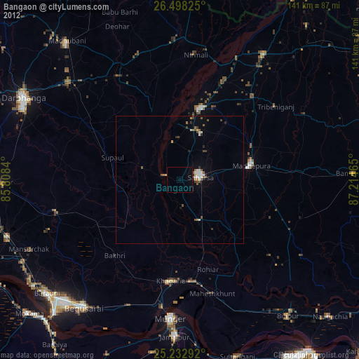
» Earth at Night: Flat Maps 2012, 2016