Azamgarh night lights from space
Night Light of Azamgarh (Uttar Pradesh) from space (India) Src. Average luminocity for 10x10km area is 78.2639% and for 50x50km: 34.8354%.
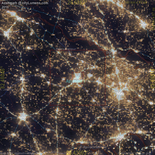
Analysis of Azamgarh night lights 2016
Square area 10x10 km:
 26.39%
90-99
25%80-89
6.35%70-79
6.15%60-69
7.14%50-59
11.9%40-49
7.94%30-39
7.14%20-29
1.98%10-19
0%0-9
0%Square area 50x50 km:
2.24%90-99
2.94%80-89
2.17%70-79
3.08%60-69
5.11%50-59
7.71%40-49
10.77%30-39
12.99%20-29
18.1%10-19
29.67%0-9
5.24%Clear (daylight) street map image can be seen on geolist.org.
Map coordinates:
26° 41' 53.5" North, 82° 28' 49.7" East
26° 4' 6" North, 83° 11' 0.9" East
25° 26' 6.1" North, 83° 53' 12.2" East
Some cities around Azamgarh sort by population:
• Mubārakpur
11 km =6.8 mi,  78°
78°
• Muhammadābād
20.1 km =12.5 mi,  100°
100°
• Sarāi Mīr
26.9 km =16.7 mi,  260°
260°
• Mehnagar
22.1 km =13.7 mi,  197°
197°
• Nizāmābād
12.7 km =7.9 mi, 262°
• Bilariāganj
14.8 km =9.2 mi,  16°
16°
• Jainpur
17.9 km =11.1 mi,  57°
57°
• Bishunpur Urf Mahārājganj
22.3 km =13.9 mi,  342°
342°
1278083 (p: 116,644)
Sources (retrieved 2019-11-25):
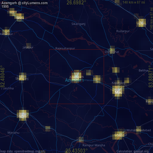
» NASA, Earths city lights 1995
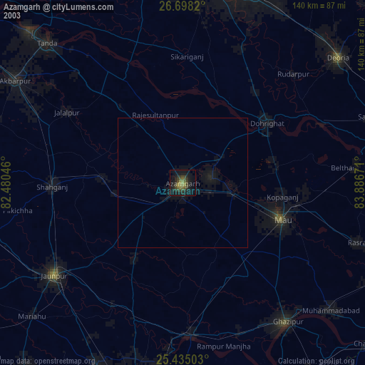
» NASA city lights 2003
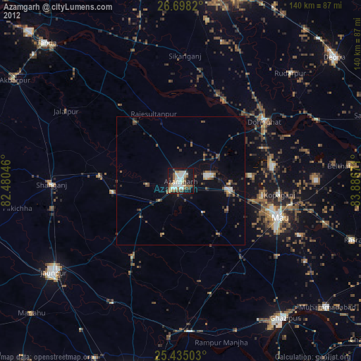
» Earth at Night: Flat Maps 2012, 2016