Alandi night lights from space
Night Light of Alandi (Maharashtra) from space (India) Src. Average luminocity for 10x10km area is 71.4401% and for 50x50km: 57.2008%.
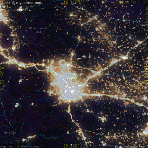
Analysis of Alandi night lights 2016
Square area 10x10 km:
 2.48%
2.48%90-99
30.37%80-89
11.16%70-79
16.94%60-69
9.92%50-59
11.78%40-49
4.75%30-39
8.06%20-29
4.55%10-19
0%0-9
0%Square area 50x50 km:
12.36%90-99
20.62%80-89
5.7%70-79
6.05%60-69
6.36%50-59
6.38%40-49
6.49%30-39
6.22%20-29
7.04%10-19
7.63%0-9
15.13%Clear (daylight) street map image can be seen on geolist.org.
Map coordinates:
19° 20' 32.4" North, 73° 11' 44" East
18° 40' 39.2" North, 73° 53' 55.2" East
18° 0' 36.6" North, 74° 36' 6.5" East
Some cities around Alandi sort by population:
• Pune
18.2 km =11.3 mi,  194°
194°
• Pimpri
11.4 km =7.1 mi,  237°
237°
• Shivaji Nagar
17.1 km =10.6 mi,  196°
196°
• Khadki
13.6 km =8.5 mi, 201°
• Koregaon
17.3 km =10.7 mi,  101°
101°
• Chākan
9.9 km =6.2 mi,  338°
338°
• Lohogaon
9.2 km =5.7 mi,  161°
161°
• Dehu
14.7 km =9.1 mi,  288°
288°
1279066 (p: 21,383)
Sources (retrieved 2019-11-25):
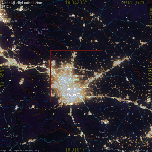
» Earth at Night: Flat Maps 2012, 2016