Achalpur night lights from space
Night Light of Achalpur (Maharashtra) from space (India) Src. Average luminocity for 10x10km area is 32.8889% and for 50x50km: 6.2733%.
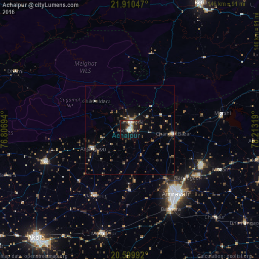
Analysis of Achalpur night lights 2016
Square area 10x10 km:
 7.34%
7.34%90-99
5.75%80-89
3.17%70-79
1.39%60-69
5.36%50-59
1.79%40-49
3.77%30-39
4.56%20-29
8.93%10-19
38.89%0-9
19.05%Square area 50x50 km:
0.51%90-99
0.7%80-89
0.49%70-79
0.43%60-69
0.99%50-59
1.07%40-49
1.25%30-39
1.46%20-29
1.31%10-19
4.07%0-9
87.72%Clear (daylight) street map image can be seen on geolist.org.
Map coordinates:
21° 54' 37.7" North, 76° 48' 25" East
21° 15' 23.9" North, 77° 30' 36.2" East
20° 35' 59.7" North, 78° 12' 47.5" East
Some cities around Achalpur sort by population:
• Amrāvati
43.7 km =27.2 mi,  145°
145°
• Akot
50.1 km =31.1 mi,  249°
249°
• Anjangaon
23.2 km =14.4 mi,  243°
243°
• Murtajāpur
60.1 km =37.3 mi,  194°
194°
• Daryāpur
41.5 km =25.8 mi,  207°
207°
• Morsi
52.9 km =32.9 mi,  79°
79°
• Chāndūr Bāzār
24.7 km =15.3 mi,  94°
94°
• Bhainsdehi
44.9 km =27.9 mi,  16°
16°
1279390 (p: 111,278)
Sources (retrieved 2019-11-25):
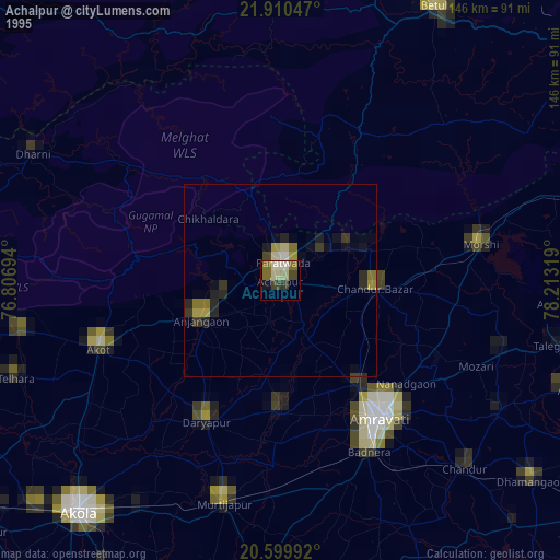
» NASA, Earths city lights 1995
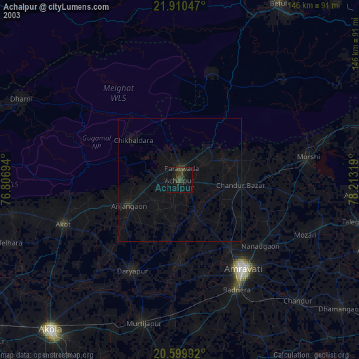
» NASA city lights 2003
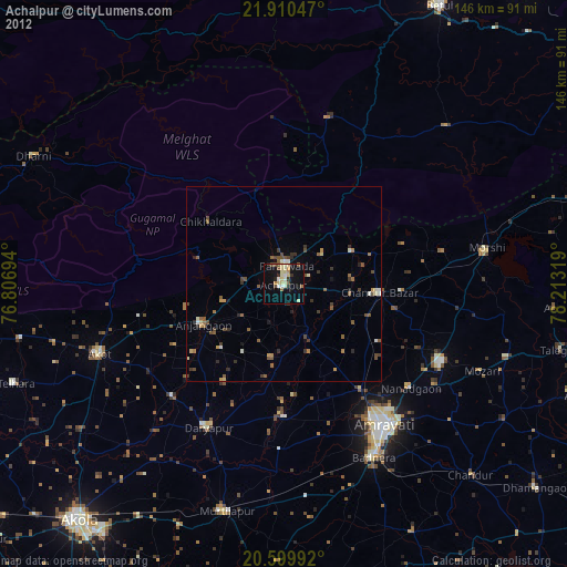
» Earth at Night: Flat Maps 2012, 2016