Srono night lights from space
Night Light of Srono (East Java) from space (Indonesia) Src. Average luminocity for 10x10km area is 29.0517% and for 50x50km: 14.7582%.
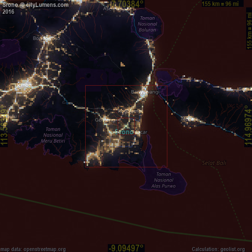
Analysis of Srono night lights 2016
Square area 10x10 km:
 0%
0%90-99
0.83%80-89
1.86%70-79
1.45%60-69
5.99%50-59
4.34%40-49
11.98%30-39
10.12%20-29
9.71%10-19
53.72%0-9
0%Square area 50x50 km:
0.3%90-99
1.46%80-89
1.6%70-79
1.73%60-69
2.09%50-59
2.27%40-49
4.54%30-39
3.69%20-29
5.53%10-19
16.66%0-9
60.13%Clear (daylight) street map image can be seen on geolist.org.
Map coordinates:
7° 42' 13.8" South, 113° 33' 48.6" East
8° 24' 0.1" South, 114° 15' 59.8" East
9° 5' 41.9" South, 114° 58' 11.1" East
Some cities around Srono sort by population:
• Jember
67.3 km =41.8 mi,  292°
292°
• Banyuwangi
21.1 km =13.1 mi,  28°
28°
• Genteng
13.4 km =8.3 mi, 286°
• Muncar
8.2 km =5.1 mi,  116°
116°
• Negara
38.8 km =24.1 mi,  82°
82°
• Singojuruh
10 km =6.2 mi,  338°
338°
• Wongsorejo
47.8 km =29.7 mi,  17°
17°
• Gambiran Satu
13.2 km =8.2 mi,  272°
272°
1626486 (p: 36,260)
Sources (retrieved 2019-11-25):
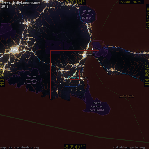
» Earth at Night: Flat Maps 2012, 2016