Muncar night lights from space
Night Light of Muncar (East Java) from space (Indonesia) Src. Average luminocity for 10x10km area is 25.7996% and for 50x50km: 12.5423%.
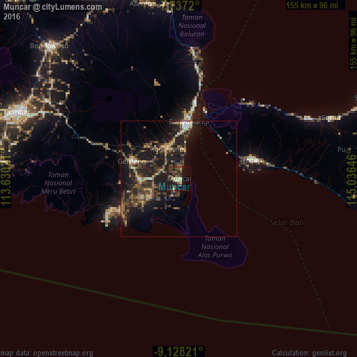
Analysis of Muncar night lights 2016
Square area 10x10 km:
 0.21%
0.21%90-99
2.69%80-89
5.17%70-79
1.03%60-69
3.31%50-59
3.51%40-49
9.5%30-39
4.55%20-29
8.47%10-19
33.68%0-9
27.89%Square area 50x50 km:
0.24%90-99
1.14%80-89
1.2%70-79
1.48%60-69
1.81%50-59
1.93%40-49
4.1%30-39
3.38%20-29
4.98%10-19
14.26%0-9
65.49%Clear (daylight) street map image can be seen on geolist.org.
Map coordinates:
7° 44' 13.9" South, 113° 37' 48.8" East
8° 25' 60" South, 114° 19' 60" East
9° 7' 41.6" South, 115° 2' 11.3" East
Some cities around Muncar sort by population:
• Banyuwangi
22.5 km =14 mi,  6°
6°
• Genteng
21.5 km =13.4 mi,  290°
290°
• Srono
8.2 km =5.1 mi,  296°
296°
• Negara
32.3 km =20.1 mi,  74°
74°
• Singojuruh
17 km =10.6 mi,  319°
319°
• Wongsorejo
49.8 km =30.9 mi, 8°
• Seririt
71.8 km =44.6 mi, 68°
• Gambiran Satu
21 km =13 mi,  282°
282°
1634718 (p: 64,537)
Sources (retrieved 2019-11-25):
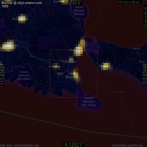
» NASA, Earths city lights 1995
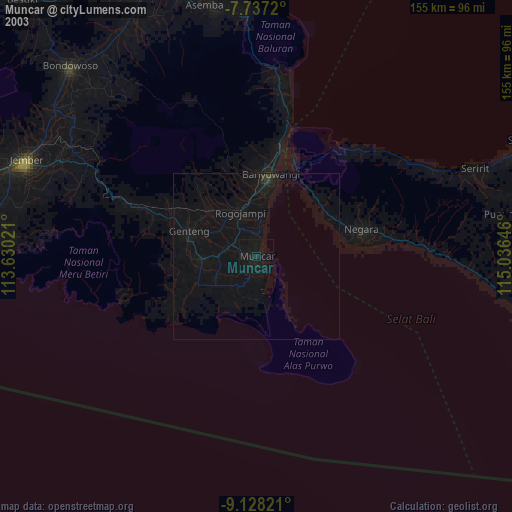
» NASA city lights 2003
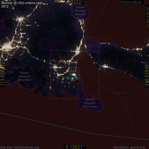
» Earth at Night: Flat Maps 2012, 2016