Fegyvernek night lights from space
Night Light of Fegyvernek (Jász-Nagykun-Szolnok) from space (Hungary) Src. Average luminocity for 10x10km area is 0.2664% and for 50x50km: 1.3161%.
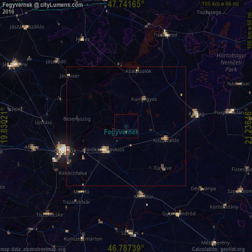
Analysis of Fegyvernek night lights 2016
Square area 10x10 km:
 0%
0%90-99
0%80-89
0%70-79
0%60-69
0%50-59
0%40-49
0%30-39
0.6%20-29
0%10-19
0%0-9
99.4%Square area 50x50 km:
0.06%90-99
0.06%80-89
0.1%70-79
0.27%60-69
0.23%50-59
0.22%40-49
0.37%30-39
0.27%20-29
0.25%10-19
0.64%0-9
97.54%Clear (daylight) street map image can be seen on geolist.org.
Map coordinates:
47° 44' 29.9" North, 19° 49' 48.8" East
47° 16' 0" North, 20° 31' 60" East
46° 47' 14.6" North, 21° 14' 11.3" East
Some cities around Fegyvernek sort by population:
• Szolnok
26.8 km =16.7 mi,  249°
249°
• Törökszentmiklós
12.8 km =8 mi,  223°
223°
• Kisújszállás
18.5 km =11.5 mi,  107°
107°
• Túrkeve
24.7 km =15.3 mi,  138°
138°
• Kunhegyes
13.4 km =8.3 mi,  34°
34°
• Jászladány
29.8 km =18.5 mi,  291°
291°
• Kunmadaras
27.3 km =17 mi,  47°
47°
• Kenderes
11.5 km =7.1 mi,  99°
99°
720992 (p: 6,972)
Sources (retrieved 2019-11-25):
» Earth at Night: Flat Maps 2012, 2016