Budapest XXI. kerület night lights from space
Night Light of Budapest XXI. kerület (Budapest) from space (Hungary) Src. Average luminocity for 10x10km area is 92.2401% and for 50x50km: 32.8875%.
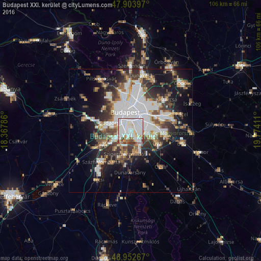
Analysis of Budapest XXI. kerület night lights 2016
Square area 10x10 km:
 51.42%
90-99
29.55%80-89
3.41%70-79
3.41%60-69
3.27%50-59
3.98%40-49
4.83%30-39
0.14%20-29
0%10-19
0%0-9
0%Square area 50x50 km:
10.37%90-99
6%80-89
2.36%70-79
2.75%60-69
3.36%50-59
4%40-49
4.52%30-39
5.19%20-29
6.55%10-19
13.63%0-9
41.28%Clear (daylight) street map image can be seen on geolist.org.
Map coordinates:
47° 54' 14.3" North, 18° 22' 4.3" East
47° 25' 49.7" North, 19° 4' 15.5" East
46° 57' 9.6" North, 19° 46' 26.8" East
Some cities around Budapest XXI. kerület sort by population:
• Kőbánya
7.9 km =4.9 mi,  40°
40°
• Józsefváros
6.6 km =4.1 mi,  1°
1°
• Erzsébetváros
8 km =5 mi, 0°
• Kispest
5.7 km =3.5 mi,  65°
65°
• Budaörs
9.2 km =5.7 mi,  292°
292°
• Szigetszentmiklós
9.9 km =6.2 mi,  192°
192°
• Dunaharaszti
8.7 km =5.4 mi,  166°
166°
• Diósd
9.5 km =5.9 mi,  255°
255°
7284839 (p: 76,339)
Sources (retrieved 2019-11-25):
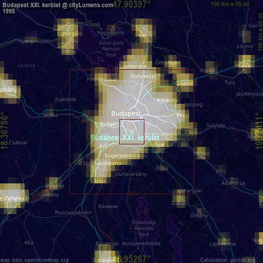
» NASA, Earths city lights 1995
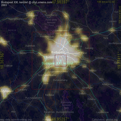
» NASA city lights 2003
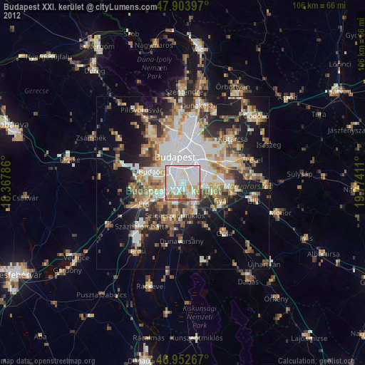
» Earth at Night: Flat Maps 2012, 2016