Budapest XX. kerület night lights from space
Night Light of Budapest XX. kerület (Budapest) from space (Hungary) Src. Average luminocity for 10x10km area is 91.7841% and for 50x50km: 33.0822%.
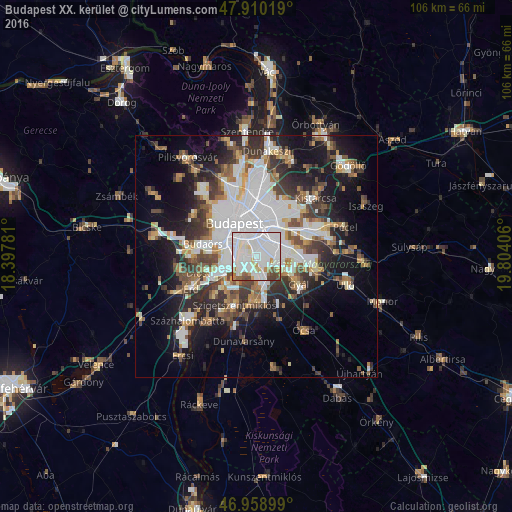
Analysis of Budapest XX. kerület night lights 2016
Square area 10x10 km:
 57.53%
90-99
22.73%80-89
3.69%70-79
2.7%60-69
3.13%50-59
3.55%40-49
5.97%30-39
0.71%20-29
0%10-19
0%0-9
0%Square area 50x50 km:
10.42%90-99
6.05%80-89
2.36%70-79
2.77%60-69
3.36%50-59
3.99%40-49
4.53%30-39
5.16%20-29
6.66%10-19
13.8%0-9
40.91%Clear (daylight) street map image can be seen on geolist.org.
Map coordinates:
47° 54' 36.7" North, 18° 23' 52.1" East
47° 26' 12.3" North, 19° 6' 3.3" East
46° 57' 32.4" North, 19° 48' 14.6" East
Some cities around Budapest XX. kerület sort by population:
• Zugló
9 km =5.6 mi,  2°
2°
• Kőbánya
6 km =3.7 mi,  28°
28°
• Józsefváros
6.2 km =3.9 mi,  340°
340°
• Erzsébetváros
7.6 km =4.7 mi, 343°
• Kispest
3.4 km =2.1 mi,  60°
60°
• Budaörs
11.1 km =6.9 mi,  284°
284°
• Gyál
10.8 km =6.7 mi,  122°
122°
• Dunaharaszti
9.1 km =5.7 mi,  181°
181°
7284840 (p: 63,371)
Sources (retrieved 2019-11-25):
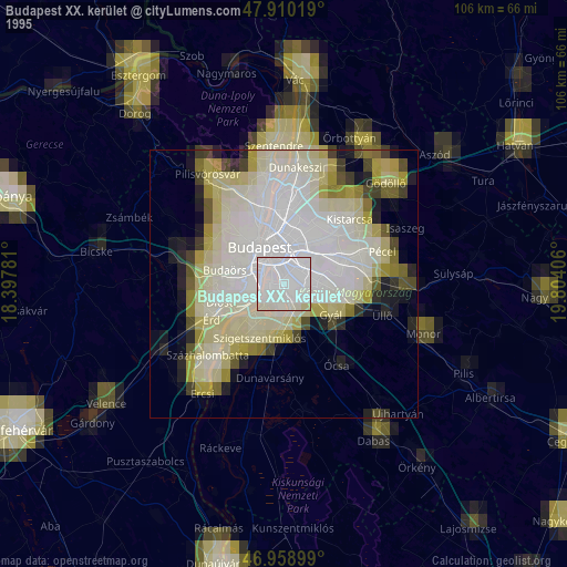
» NASA, Earths city lights 1995
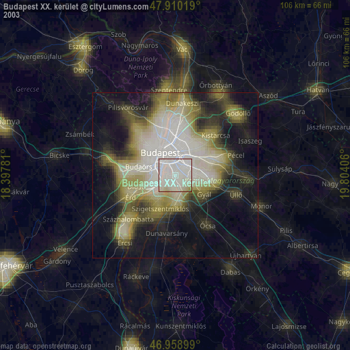
» NASA city lights 2003
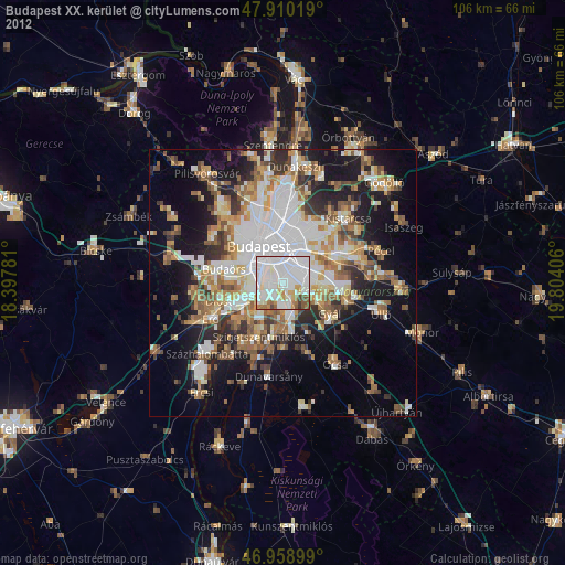
» Earth at Night: Flat Maps 2012, 2016