Solin night lights from space
Night Light of Solin (Split-Dalmatia) from space (Croatia) Src. Average luminocity for 10x10km area is 61.9048% and for 50x50km: 10.8192%.
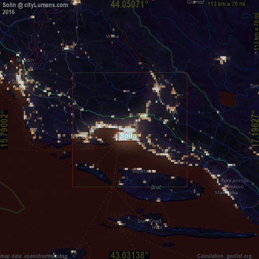
Analysis of Solin night lights 2016
Square area 10x10 km:
 18.25%
90-99
21.59%80-89
3.97%70-79
4.6%60-69
2.7%50-59
5.56%40-49
6.19%30-39
4.92%20-29
21.75%10-19
10.48%0-9
0%Square area 50x50 km:
1.2%90-99
1.71%80-89
1.14%70-79
1.17%60-69
1.08%50-59
1.56%40-49
1.54%30-39
1.13%20-29
2.91%10-19
9.85%0-9
76.71%Clear (daylight) street map image can be seen on geolist.org.
Map coordinates:
44° 3' 2.6" North, 15° 47' 24.1" East
43° 32' 35.5" North, 16° 29' 35.3" East
43° 1' 53" North, 17° 11' 46.6" East
Some cities around Solin sort by population:
• Split
5.8 km =3.6 mi,  228°
228°
• Trogir
19.8 km =12.3 mi,  260°
260°
• Podstrana
7.8 km =4.8 mi,  143°
143°
• Kaštel Stari
11.6 km =7.2 mi,  273°
273°
• Omiš
19.2 km =11.9 mi,  124°
124°
• Kaštel Novi
12.9 km =8 mi, 273°
• Kaštel Lukšić
10.2 km =6.3 mi,  277°
277°
• Kaštel Kambelovac
8.9 km =5.5 mi, 274°
3190359 (p: 20,212)
Sources (retrieved 2019-11-25):
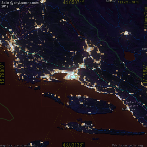
» Earth at Night: Flat Maps 2012, 2016