Ermoúpolis night lights from space
Night Light of Ermoúpolis (South Aegean) from space (Greece) Src. Average luminocity for 10x10km area is 12.2419% and for 50x50km: 0.857%.
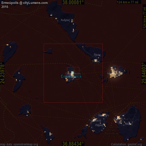
Analysis of Ermoúpolis night lights 2016
Square area 10x10 km:
 1.14%
1.14%90-99
1.3%80-89
2.11%70-79
1.3%60-69
0.81%50-59
1.62%40-49
3.25%30-39
2.76%20-29
1.3%10-19
1.62%0-9
82.79%Square area 50x50 km:
0.05%90-99
0.11%80-89
0.14%70-79
0.09%60-69
0.08%50-59
0.14%40-49
0.2%30-39
0.21%20-29
0.12%10-19
0.13%0-9
98.73%Clear (daylight) street map image can be seen on geolist.org.
Map coordinates:
38° 0' 2.9" North, 24° 14' 23.2" East
37° 26' 40.8" North, 24° 56' 34.4" East
36° 53' 3.6" North, 25° 38' 45.7" East
Some cities around Ermoúpolis sort by population:
• Kalývia Thorikoú
99.8 km =62 mi,  296°
296°
• Limín Mesoyaías
96.5 km =60 mi, 300°
• Keratéa
94 km =58.4 mi, 295°
• Lávrio
83.7 km =52 mi,  291°
291°
• Náxos
53.8 km =33.4 mi,  134°
134°
• Anávyssos
93.7 km =58.2 mi, 290°
• Páros
44.2 km =27.5 mi,  155°
155°
• Kárystos
78.4 km =48.7 mi,  323°
323°
262603 (p: 11,351)
Sources (retrieved 2019-11-25):
» Earth at Night: Flat Maps 2012, 2016