Chaniá night lights from space
Night Light of Chaniá (Crete) from space (Greece) Src. Average luminocity for 10x10km area is 53.5476% and for 50x50km: 6.7255%.
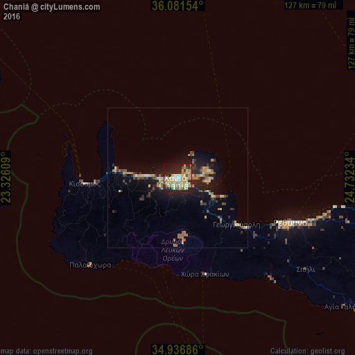
Analysis of Chaniá night lights 2016
Square area 10x10 km:
 5.49%
5.49%90-99
7.51%80-89
14.29%70-79
13.37%60-69
11.9%50-59
0.92%40-49
3.3%30-39
5.49%20-29
19.23%10-19
17.22%0-9
1.28%Square area 50x50 km:
0.26%90-99
0.6%80-89
1.03%70-79
1.13%60-69
1.65%50-59
0.51%40-49
0.7%30-39
1.37%20-29
2.06%10-19
5.41%0-9
85.3%Clear (daylight) street map image can be seen on geolist.org.
Map coordinates:
36° 4' 53.5" North, 23° 19' 33.9" East
35° 30' 40.5" North, 24° 1' 45.2" East
34° 56' 12.7" North, 24° 43' 56.4" East
Some cities around Chaniá sort by population:
• Irákleion
103 km =64 mi,  101°
101°
• Rethymno
44.1 km =27.4 mi,  111°
111°
• Gázi
96.3 km =59.8 mi, 102°
• Néa Alikarnassós
104.1 km =64.7 mi, 100°
• Soúda
4.8 km =3 mi,  123°
123°
• Moíres
92.1 km =57.2 mi, 123°
• Mourniés
3.6 km =2.2 mi,  205°
205°
• Tympáki
82.9 km =51.5 mi,  125°
125°
260114 (p: 53,910)
Sources (retrieved 2019-11-25):
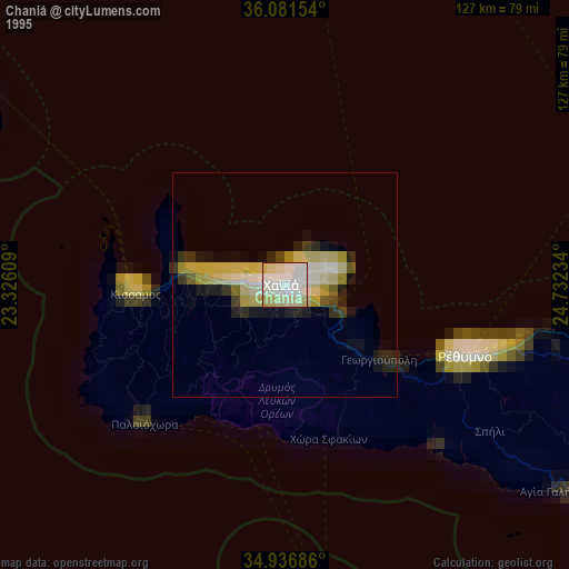
» NASA, Earths city lights 1995
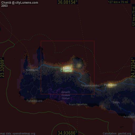
» NASA city lights 2003
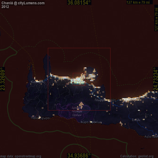
» Earth at Night: Flat Maps 2012, 2016