Irákleion night lights from space
Night Light of Irákleion (Crete) from space (Greece) Src. Average luminocity for 10x10km area is 54.8864% and for 50x50km: 7.1565%.
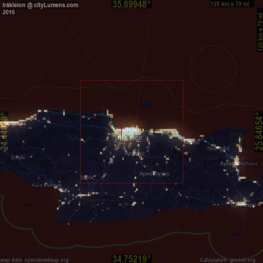

Analysis of Irákleion night lights 2016
Square area 10x10 km:
 13.19%
90-99
14.1%80-89
6.59%70-79
7.51%60-69
5.13%50-59
2.2%40-49
4.58%30-39
7.69%20-29
19.6%10-19
19.05%0-9
0.37%Square area 50x50 km:
0.59%90-99
1.08%80-89
0.83%70-79
1.14%60-69
0.86%50-59
0.59%40-49
1.02%30-39
1.63%20-29
1.85%10-19
6.39%0-9
84.03%Clear (daylight) street map image can be seen on geolist.org.
Map coordinates:
35° 53' 58.1" North, 24° 26' 25" East
35° 19' 40.3" North, 25° 8' 36.3" East
34° 45' 7.9" North, 25° 50' 47.5" East
Some cities around Irákleion sort by population:
• Rethymno
60.1 km =37.3 mi,  273°
273°
• Gázi
6.9 km =4.3 mi, 267°
• Ierápetra
64.8 km =40.3 mi,  122°
122°
• Néa Alikarnassós
1.9 km =1.2 mi,  46°
46°
• Ágios Nikólaos
54.1 km =33.6 mi,  106°
106°
• Sitia
88.3 km =54.9 mi,  98°
98°
• Moíres
39.3 km =24.4 mi,  218°
218°
• Tympáki
44.3 km =27.5 mi,  230°
230°
261745 (p: 137,154)
Sources (retrieved 2019-11-25):
» NASA, Earths city lights 1995
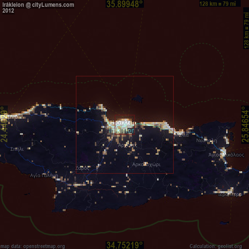
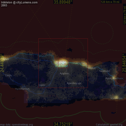
» NASA city lights 2003
» Earth at Night: Flat Maps 2012, 2016