Pointe-Noire night lights from space
Night Light of Pointe-Noire (Guadeloupe) from space (Guadeloupe) Src. Average luminocity for 10x10km area is 4.7107% and for 50x50km: 7.8468%.
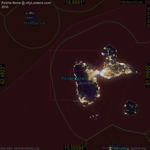
Analysis of Pointe-Noire night lights 2016
Square area 10x10 km:
 0%
0%90-99
0%80-89
0.83%70-79
1.24%60-69
1.24%50-59
0%40-49
0.41%30-39
0.62%20-29
2.27%10-19
2.89%0-9
90.5%Square area 50x50 km:
0.66%90-99
0.76%80-89
1.26%70-79
1.5%60-69
0.96%50-59
0.64%40-49
1.25%30-39
1.98%20-29
2.28%10-19
5.02%0-9
83.7%Clear (daylight) street map image can be seen on geolist.org.
Map coordinates:
16° 54' 22" North, 62° 29' 32.3" West
16° 13' 55.8" North, 61° 47' 21" West
15° 33' 21.4" North, 61° 5' 9.8" West
Some cities around Pointe-Noire sort by population:
• Baie-Mahault
22.1 km =13.7 mi,  79°
79°
• Petit-Bourg
21.6 km =13.4 mi,  102°
102°
• Sainte-Rose
14.9 km =9.3 mi,  41°
41°
• Lamentin
17.3 km =10.7 mi, 75°
• Saint-Claude
24.9 km =15.5 mi,  157°
157°
• Vieux-Habitants
19.4 km =12.1 mi,  172°
172°
• Bouillante
11.5 km =7.1 mi, 169°
• Baillif
24 km =14.9 mi, 168°
3578594 (p: 7,749)
Sources (retrieved 2019-11-25):
» Earth at Night: Flat Maps 2012, 2016