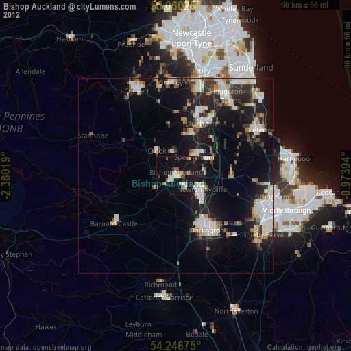
Bishop Auckland night lights from space
Night Light of Bishop Auckland (England) from space (United Kingdom) Src. Average luminocity for 10x10km area is 19.188% and for 50x50km: 13.5641%.
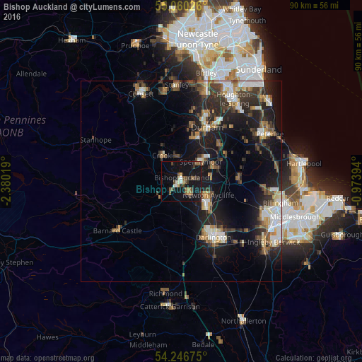
Analysis of Bishop Auckland night lights 2016
Square area 10x10 km:
 0.88%
0.88%90-99
2.63%80-89
0.75%70-79
1.25%60-69
2.51%50-59
4.51%40-49
4.01%30-39
4.39%20-29
2.01%10-19
35.21%0-9
41.85%Square area 50x50 km:
1.89%90-99
2.21%80-89
1%70-79
1.25%60-69
1.94%50-59
1.89%40-49
2.06%30-39
2.88%20-29
4.52%10-19
11.11%0-9
69.24%Clear (daylight) street map image can be seen on geolist.org.
Map coordinates:
55° 3' 36.9" North, 2° 22' 48.7" West
54° 39' 19.9" North, 1° 40' 37.4" West
54° 14' 48.3" North, 0° 58' 26.2" West
Some cities around Bishop Auckland sort by population:
• Newton Aycliffe
7.9 km =4.9 mi,  121°
121°
• Spennymoor
6.8 km =4.2 mi,  44°
44°
• Shildon
3.6 km =2.2 mi,  142°
142°
• Ferryhill
8.7 km =5.4 mi,  69°
69°
• Brandon
11.2 km =7 mi,  20°
20°
• Crook
7.9 km =4.9 mi,  323°
323°
• Ushaw Moor
13.8 km =8.6 mi,  8°
8°
• Willington
7 km =4.3 mi,  347°
347°
2655583 (p: 26,050)
Sources (retrieved 2019-11-25):
» Earth at Night: Flat Maps 2012, 2016