Thonon-les-Bains night lights from space
Night Light of Thonon-les-Bains (Auvergne-Rhône-Alpes) from space (France) Src. Average luminocity for 10x10km area is 35.2366% and for 50x50km: 15.5947%.
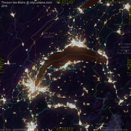
Analysis of Thonon-les-Bains night lights 2016
Square area 10x10 km:
 5.8%
5.8%90-99
10.12%80-89
0.6%70-79
3.13%60-69
2.38%50-59
4.17%40-49
4.76%30-39
6.1%20-29
9.23%10-19
41.52%0-9
12.2%Square area 50x50 km:
1.95%90-99
2.55%80-89
1.14%70-79
1.41%60-69
1.74%50-59
2.13%40-49
2.86%30-39
2.94%20-29
4.87%10-19
13.44%0-9
64.97%Clear (daylight) street map image can be seen on geolist.org.
Map coordinates:
46° 51' 12.6" North, 5° 46' 36.2" East
46° 22' 13.8" North, 6° 28' 47.5" East
45° 52' 59.4" North, 7° 10' 58.7" East
Some cities around Thonon-les-Bains sort by population:
• Lausanne, CH
20 km =12.4 mi,  35°
35°
• Nyon, CH
18.5 km =11.5 mi,  274°
274°
• Morges, CH
15.7 km =9.8 mi,  5°
5°
• Gland, CH
17 km =10.6 mi,  289°
289°
• Ecublens, CH
18.7 km =11.6 mi,  19°
19°
• Évian-les-Bains
9 km =5.6 mi,  67°
67°
• Publier
5.2 km =3.2 mi, 68°
• Chavannes, CH
19.1 km =11.9 mi, 21°
2972742 (p: 31,684)
Sources (retrieved 2019-11-25):
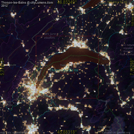
» Earth at Night: Flat Maps 2012, 2016