Saint-Brieuc night lights from space
Night Light of Saint-Brieuc (Brittany) from space (France) Src. Average luminocity for 10x10km area is 24.6278% and for 50x50km: 1.8023%.
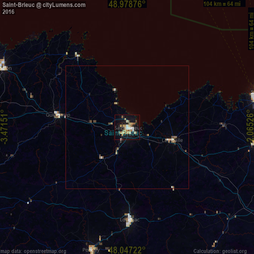
Analysis of Saint-Brieuc night lights 2016
Square area 10x10 km:
 1.42%
1.42%90-99
3.27%80-89
4.69%70-79
4.26%60-69
3.69%50-59
3.98%40-49
2.27%30-39
1.42%20-29
3.69%10-19
27.84%0-9
43.47%Square area 50x50 km:
0.11%90-99
0.24%80-89
0.23%70-79
0.24%60-69
0.24%50-59
0.32%40-49
0.37%30-39
0.14%20-29
0.37%10-19
1.24%0-9
96.51%Clear (daylight) street map image can be seen on geolist.org.
Map coordinates:
48° 58' 43.5" North, 3° 28' 17.4" West
48° 30' 54.5" North, 2° 46' 6.2" West
48° 2' 50" North, 2° 3' 54.9" West
Some cities around Saint-Brieuc sort by population:
• Plérin
3.2 km =2 mi,  344°
344°
• Lamballe
19.4 km =12.1 mi,  105°
105°
• Ploufragan
3.3 km =2.1 mi,  216°
216°
• Guingamp
28.7 km =17.8 mi,  280°
280°
• Paimpol
35.6 km =22.1 mi,  325°
325°
• Langueux
4.3 km =2.7 mi,  121°
121°
• Plédran
7.9 km =4.9 mi,  168°
168°
• Pordic
7.2 km =4.5 mi, 329°
2981280 (p: 52,774)
Sources (retrieved 2019-11-25):
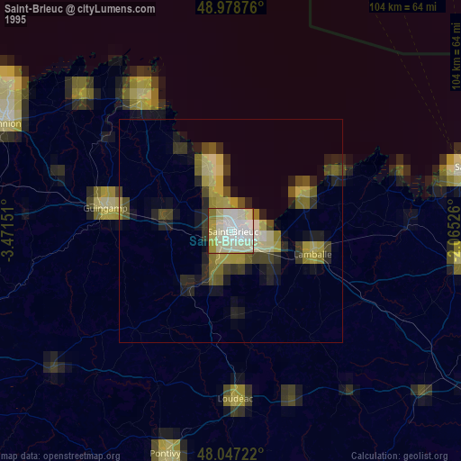
» NASA, Earths city lights 1995
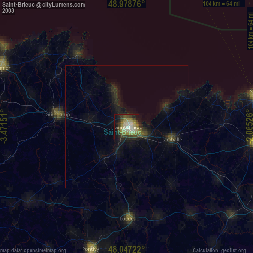
» NASA city lights 2003
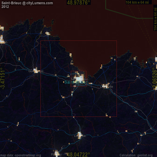
» Earth at Night: Flat Maps 2012, 2016