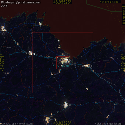
Ploufragan night lights from space
Night Light of Ploufragan (Brittany) from space (France) Src. Average luminocity for 10x10km area is 22.0043% and for 50x50km: 1.8693%.
Analysis of Ploufragan night lights 2016
Square area 10x10 km:
 1.42%
1.42%90-99
3.55%80-89
3.69%70-79
4.69%60-69
3.27%50-59
2.98%40-49
2.27%30-39
1.14%20-29
3.55%10-19
19.18%0-9
54.26%Square area 50x50 km:
0.11%90-99
0.25%80-89
0.25%70-79
0.24%60-69
0.24%50-59
0.34%40-49
0.38%30-39
0.14%20-29
0.37%10-19
1.24%0-9
96.44%Clear (daylight) street map image can be seen on geolist.org.
Map coordinates:
48° 57' 18.9" North, 3° 29' 51.8" West
48° 29' 29.1" North, 2° 47' 40.5" West
48° 1' 23.8" North, 2° 5' 29.3" West
Some cities around Ploufragan sort by population:
• Saint-Brieuc
3.3 km =2.1 mi,  36°
36°
• Plérin
5.8 km =3.6 mi,  10°
10°
• Lamballe
20.8 km =12.9 mi,  97°
97°
• Loudéac
34.9 km =21.7 mi,  175°
175°
• Guingamp
27.4 km =17 mi,  286°
286°
• Langueux
5.6 km =3.5 mi,  85°
85°
• Plédran
6.2 km =3.9 mi,  145°
145°
• Pordic
9 km =5.6 mi,  348°
348°
2986678 (p: 11,577)
Sources (retrieved 2019-11-25):
» Earth at Night: Flat Maps 2012, 2016