Rennes night lights from space
Night Light of Rennes (Brittany) from space (France) Src. Average luminocity for 10x10km area is 69.4985% and for 50x50km: 6.0278%.
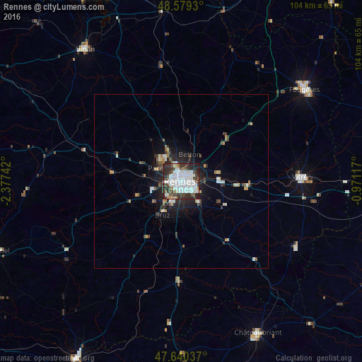
Analysis of Rennes night lights 2016
Square area 10x10 km:
 35.57%
90-99
14.43%80-89
2.38%70-79
1.19%60-69
2.08%50-59
5.21%40-49
9.82%30-39
13.54%20-29
13.69%10-19
2.08%0-9
0%Square area 50x50 km:
1.55%90-99
1.02%80-89
0.38%70-79
0.42%60-69
0.39%50-59
0.6%40-49
0.87%30-39
1.08%20-29
2.03%10-19
3.48%0-9
88.18%Clear (daylight) street map image can be seen on geolist.org.
Map coordinates:
48° 34' 45.5" North, 2° 22' 38.7" West
48° 6' 43.1" North, 1° 40' 27.4" West
47° 38' 25.3" North, 0° 58' 16.2" West
Some cities around Rennes sort by population:
• Cesson-Sévigné
5.4 km =3.4 mi,  79°
79°
• Betton
8.1 km =5 mi,  19°
19°
• Pacé
8.4 km =5.2 mi,  298°
298°
• Saint-Jacques-de-la-Lande
6.3 km =3.9 mi,  213°
213°
• Saint-Grégoire
4.4 km =2.7 mi,  347°
347°
• Chantepie
5.1 km =3.2 mi,  120°
120°
• Chartres-de-Bretagne
8.4 km =5.2 mi,  195°
195°
• Châtillon-sur-Seiche
8.6 km =5.3 mi,  178°
178°
2983990 (p: 209,375)
Sources (retrieved 2019-11-25):
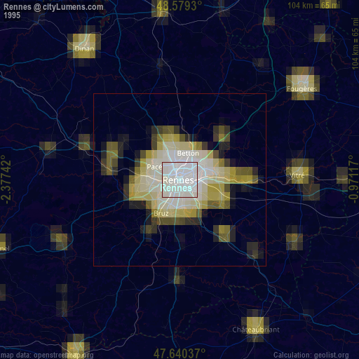
» NASA, Earths city lights 1995
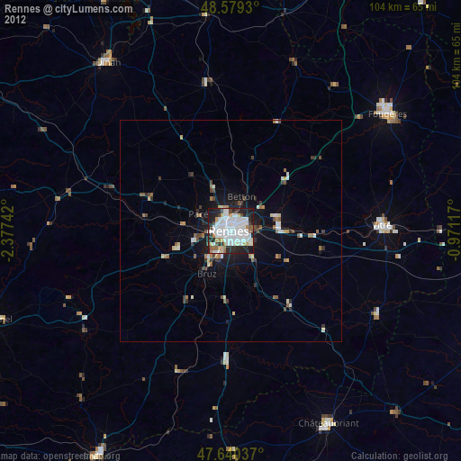
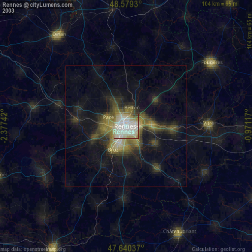
» NASA city lights 2003
» Earth at Night: Flat Maps 2012, 2016