Pacé night lights from space
Night Light of Pacé (Brittany) from space (France) Src. Average luminocity for 10x10km area is 25.744% and for 50x50km: 5.873%.
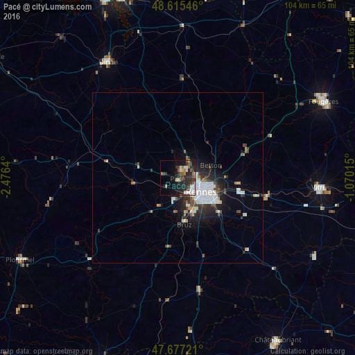
Analysis of Pacé night lights 2016
Square area 10x10 km:
 3.13%
3.13%90-99
5.06%80-89
1.34%70-79
0.89%60-69
3.42%50-59
5.51%40-49
2.68%30-39
7.29%20-29
15.03%10-19
15.18%0-9
40.48%Square area 50x50 km:
1.56%90-99
0.97%80-89
0.37%70-79
0.37%60-69
0.36%50-59
0.6%40-49
0.8%30-39
1.09%20-29
2.01%10-19
3.43%0-9
88.43%Clear (daylight) street map image can be seen on geolist.org.
Map coordinates:
48° 36' 55.7" North, 2° 28' 35" West
48° 8' 54.5" North, 1° 46' 23.8" West
47° 40' 38" North, 1° 4' 12.5" West
Some cities around Pacé sort by population:
• Rennes
8.4 km =5.2 mi,  118°
118°
• Cesson-Sévigné
13 km =8.1 mi,  103°
103°
• Betton
10.6 km =6.6 mi,  70°
70°
• Saint-Jacques-de-la-Lande
10.1 km =6.3 mi,  157°
157°
• Saint-Grégoire
6.4 km =4 mi,  87°
87°
• Le Rheu
5.4 km =3.4 mi,  199°
199°
• Mordelles
9.6 km =6 mi,  212°
212°
• Melesse
9.6 km =6 mi,  37°
37°
2988853 (p: 8,608)
Sources (retrieved 2019-11-25):
» Earth at Night: Flat Maps 2012, 2016