Panazol night lights from space
Night Light of Panazol (Nouvelle-Aquitaine) from space (France) Src. Average luminocity for 10x10km area is 59.4092% and for 50x50km: 6.6525%.
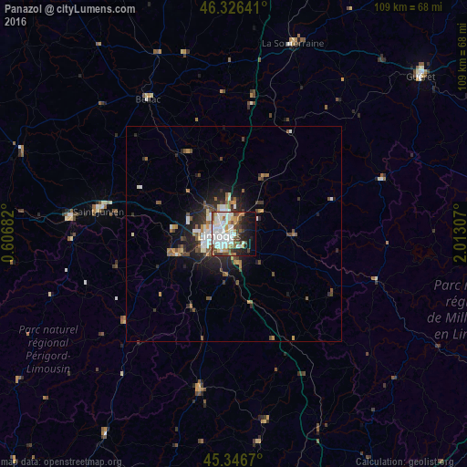
Analysis of Panazol night lights 2016
Square area 10x10 km:
 19.79%
90-99
18.3%80-89
3.13%70-79
5.51%60-69
4.46%50-59
5.51%40-49
8.04%30-39
3.42%20-29
7.44%10-19
15.03%0-9
9.38%Square area 50x50 km:
1.32%90-99
1.33%80-89
0.32%70-79
0.66%60-69
0.74%50-59
0.96%40-49
1.15%30-39
0.78%20-29
2.05%10-19
3.76%0-9
86.94%Clear (daylight) street map image can be seen on geolist.org.
Map coordinates:
46° 19' 35.1" North, 0° 36' 24.6" East
45° 50' 19.4" North, 1° 18' 35.8" East
45° 20' 48.1" North, 2° 0' 47.1" East
Some cities around Panazol sort by population:
• Limoges
4.9 km =3 mi,  263°
263°
• Saint-Junien
32.1 km =19.9 mi,  279°
279°
• Isle
7.5 km =4.7 mi,  239°
239°
• Couzeix
6.9 km =4.3 mi,  307°
307°
• Le Palais-sur-Vienne
3 km =1.9 mi,  20°
20°
• Aixe-sur-Vienne
14.3 km =8.9 mi,  250°
250°
• Feytiat
3.6 km =2.2 mi,  152°
152°
• Ambazac
14.9 km =9.3 mi,  27°
27°
2988657 (p: 10,055)
Sources (retrieved 2019-11-25):
» Earth at Night: Flat Maps 2012, 2016