Outreau night lights from space
Night Light of Outreau (Hauts-de-France) from space (France) Src. Average luminocity for 10x10km area is 39.3503% and for 50x50km: 4.6533%.
Analysis of Outreau night lights 2016
Square area 10x10 km:
 8.96%
8.96%90-99
11.23%80-89
4.14%70-79
2.81%60-69
3.07%50-59
2.01%40-49
3.21%30-39
2.81%20-29
18.18%10-19
22.33%0-9
21.26%Square area 50x50 km:
0.66%90-99
0.93%80-89
0.46%70-79
0.31%60-69
0.45%50-59
0.46%40-49
0.56%30-39
0.63%20-29
1.67%10-19
3.8%0-9
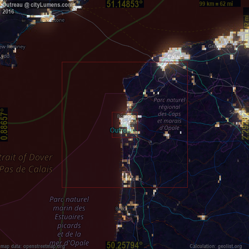
90.08%Clear (daylight) street map image can be seen on geolist.org.
Map coordinates:
51° 8' 54.7" North, 0° 53' 11.7" East
50° 42' 19.3" North, 1° 35' 22.9" East
50° 15' 28.6" North, 2° 17' 34.2" East
Some cities around Outreau sort by population:
• Boulogne-sur-Mer
2.8 km =1.7 mi,  36°
36°
• Saint-Martin-Boulogne
3.1 km =1.9 mi, 40°
• Étaples
20.6 km =12.8 mi,  171°
171°
• Le Portel
1 km =0.6 mi,  271°
271°
• Wimereux
7.3 km =4.5 mi,  12°
12°
• Le Touquet-Paris-Plage
20.1 km =12.5 mi,  180°
180°
• Desvres
17.7 km =11 mi,  103°
103°
• Saint-Étienne-au-Mont
4.2 km =2.6 mi,  136°
136°
2988936 (p: 15,648)
Sources (retrieved 2019-11-25):
» Earth at Night: Flat Maps 2012, 2016