Nice night lights from space
Night Light of Nice (Provence-Alpes-CĂ´te d'Azur) from space (France) Src. Average luminocity for 10x10km area is 73.4288% and for 50x50km: 21.3221%.
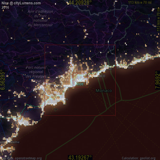
Analysis of Nice night lights 2016
Square area 10x10 km:
 26.67%
90-99
23.94%80-89
3.64%70-79
6.67%60-69
8.48%50-59
3.64%40-49
5.15%30-39
6.36%20-29
10.76%10-19
4.7%0-9
0%Square area 50x50 km:
4.04%90-99
4.9%80-89
1.92%70-79
2.22%60-69
3.46%50-59
3%40-49
1.96%30-39
2.79%20-29
6.03%10-19
10.17%0-9
59.49%Clear (daylight) street map image can be seen on geolist.org.
Map coordinates:
44° 12' 33.4" North, 6° 33' 46.6" East
43° 42' 11.3" North, 7° 15' 57.9" East
43° 11' 33.6" North, 7° 58' 9.1" East
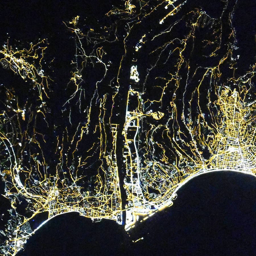
Fantastic image of Nice from space taken by astronauts [src2], but I don't have information about it's orientation, scale or angle. If necessary, it was rotated manually, so North points approximately to upper direction. Click to zoom in:
Some cities around Nice sort by population:
• Cagnes-sur-Mer
10.5 km =6.5 mi,  245°
245°
• Monaco, MC
12.6 km =7.8 mi,  74°
74°
• Saint-Laurent-du-Var
7 km =4.3 mi,  241°
241°
• Villeneuve-Loubet
12.6 km =7.8 mi, 246°
• Carros
11.8 km =7.3 mi,  327°
327°
• La TrinitĂ©
5.7 km =3.5 mi,  42°
42°
• Villefranche-sur-Mer
3.6 km =2.2 mi,  88°
88°
• La Gaude
9.3 km =5.8 mi,  283°
283°
2990440 (p: 338,620)
Sources (retrieved 2019-11-25):
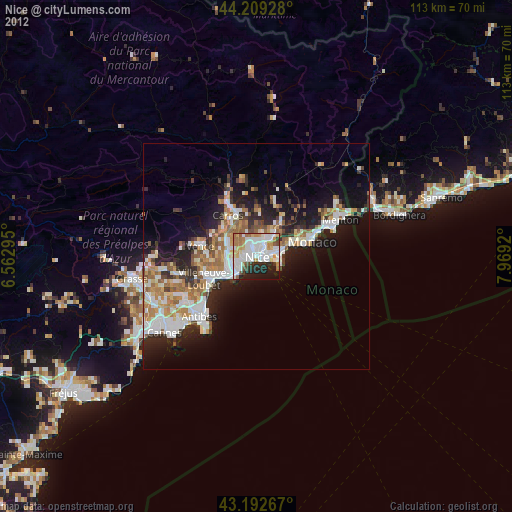
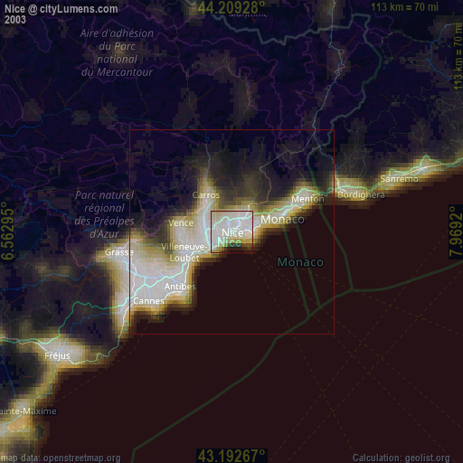
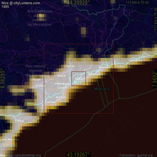
» NASA, Earths city lights 1995
» NASA city lights 2003
» Earth at Night: Flat Maps 2012, 2016
Src.2: picture by Oleg Kononenko, Roscosmos, retrieved 2019-11-29