Saint-Laurent-du-Var night lights from space
Night Light of Saint-Laurent-du-Var (Provence-Alpes-Côte d'Azur) from space (France) Src. Average luminocity for 10x10km area is 67.8394% and for 50x50km: 23.5701%.
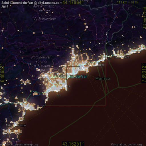
Analysis of Saint-Laurent-du-Var night lights 2016
Square area 10x10 km:
 23.03%
90-99
18.94%80-89
3.33%70-79
6.36%60-69
8.18%50-59
10.15%40-49
2.42%30-39
8.33%20-29
11.97%10-19
6.52%0-9
0.76%Square area 50x50 km:
4.45%90-99
5.4%80-89
2.14%70-79
2.52%60-69
3.74%50-59
3.52%40-49
2.33%30-39
3.05%20-29
6.88%10-19
10.34%0-9
55.64%Clear (daylight) street map image can be seen on geolist.org.
Map coordinates:
44° 10' 46.7" North, 6° 29' 12.7" East
43° 40' 23.6" North, 7° 11' 24" East
43° 9' 45" North, 7° 53' 35.2" East
Some cities around Saint-Laurent-du-Var sort by population:
• Nice
7 km =4.3 mi,  61°
61°
• Cagnes-sur-Mer
3.6 km =2.2 mi,  252°
252°
• Vence
8.3 km =5.2 mi,  311°
311°
• Villeneuve-Loubet
5.7 km =3.5 mi, 252°
• Biot
9.1 km =5.7 mi,  236°
236°
• Villefranche-sur-Mer
10.3 km =6.4 mi,  70°
70°
• La Colle-sur-Loup
7.1 km =4.4 mi,  281°
281°
• La Gaude
6.2 km =3.9 mi,  331°
331°
2978891 (p: 29,516)
Sources (retrieved 2019-11-25):
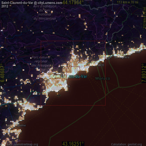
» Earth at Night: Flat Maps 2012, 2016