Mûrs-Erigné night lights from space
Night Light of Mûrs-Erigné (Pays de la Loire) from space (France) Src. Average luminocity for 10x10km area is 15.1804% and for 50x50km: 4.315%.
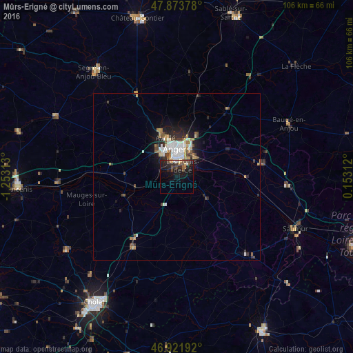
Analysis of Mûrs-Erigné night lights 2016
Square area 10x10 km:
 0.71%
0.71%90-99
1.14%80-89
1.14%70-79
1.56%60-69
1.14%50-59
3.84%40-49
3.41%30-39
1.42%20-29
9.66%10-19
21.45%0-9
54.55%Square area 50x50 km:
0.76%90-99
0.83%80-89
0.41%70-79
0.49%60-69
0.43%50-59
0.52%40-49
0.69%30-39
0.34%20-29
1.41%10-19
2.84%0-9
91.27%Clear (daylight) street map image can be seen on geolist.org.
Map coordinates:
47° 52' 25.6" North, 1° 15' 11.3" West
47° 24' 0" North, 0° 33' 0" West
46° 55' 18.9" North, 0° 9' 11.2" East
Some cities around Mûrs-Erigné sort by population:
• Angers
8.2 km =5.1 mi,  1°
1°
• Avrillé
11.4 km =7.1 mi,  347°
347°
• Les Ponts-de-Cé
3.2 km =2 mi,  36°
36°
• Trélazé
8.1 km =5 mi,  51°
51°
• Chemillé-Melay
24.5 km =15.2 mi,  212°
212°
• Bouchemaine
5.1 km =3.2 mi,  299°
299°
• Chalonnes-sur-Loire
16.9 km =10.5 mi,  251°
251°
• Beaufort-en-Vallée
25.3 km =15.7 mi,  79°
79°
2991128 (p: 5,384)
Sources (retrieved 2019-11-25):
» Earth at Night: Flat Maps 2012, 2016