Lunéville night lights from space
Night Light of Lunéville (Grand Est) from space (France) Src. Average luminocity for 10x10km area is 19.0923% and for 50x50km: 7.906%.
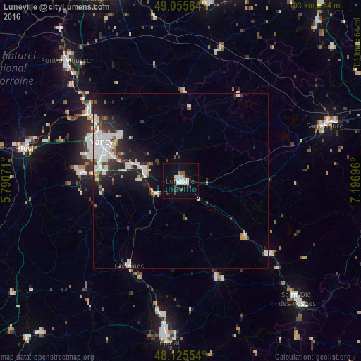
Analysis of Lunéville night lights 2016
Square area 10x10 km:
 4.61%
4.61%90-99
4.91%80-89
0%70-79
1.04%60-69
0.89%50-59
1.34%40-49
1.49%30-39
0.89%20-29
4.46%10-19
16.67%0-9
63.69%Square area 50x50 km:
2.2%90-99
1.85%80-89
0.4%70-79
0.53%60-69
0.42%50-59
0.53%40-49
0.77%30-39
1.05%20-29
2.15%10-19
5.04%0-9
85.07%Clear (daylight) street map image can be seen on geolist.org.
Map coordinates:
49° 3' 20.3" North, 5° 47' 26.6" East
48° 35' 33.8" North, 6° 29' 37.8" East
48° 7' 31.9" North, 7° 11' 49.1" East
Some cities around Lunéville sort by population:
• Jarville-la-Malgrange
22.9 km =14.2 mi,  291°
291°
• Dombasle-sur-Meurthe
10.6 km =6.6 mi, 285°
• Essey-lès-Nancy
23.2 km =14.4 mi,  302°
302°
• Tomblaine
22.8 km =14.2 mi, 296°
• Saint-Nicolas-de-Port
15 km =9.3 mi, 285°
• Heillecourt
22.9 km =14.2 mi, 286°
• Seichamps
21.8 km =13.5 mi,  308°
308°
• Laneuveville-devant-Nancy
20.9 km =13 mi, 289°
2997110 (p: 21,582)
Sources (retrieved 2019-11-25):
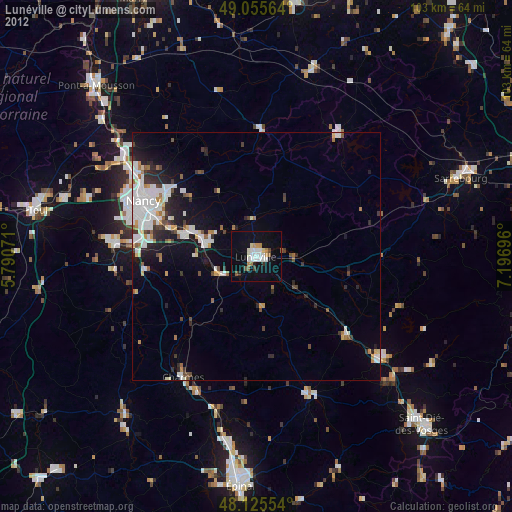
» Earth at Night: Flat Maps 2012, 2016