La Calade night lights from space
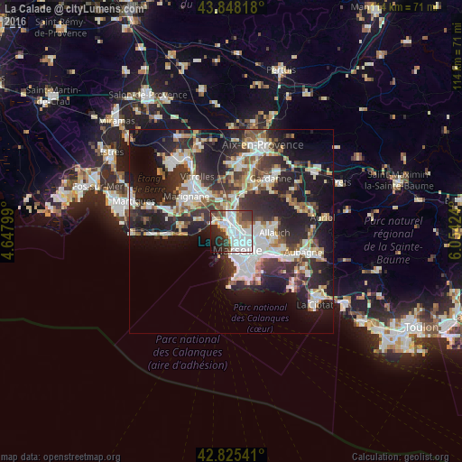
Night Light of La Calade (Provence-Alpes-Côte d'Azur) from space (France) Src. Average luminocity for 10x10km area is 69.9937% and for 50x50km: 31.5616%.
Analysis of La Calade night lights 2016
Square area 10x10 km:
 32.86%
90-99
16.83%80-89
1.59%70-79
4.29%60-69
5.24%50-59
5.24%40-49
6.83%30-39
9.84%20-29
10%10-19
6.51%0-9
0.79%Square area 50x50 km:
6.93%90-99
6.71%80-89
3.17%70-79
2.56%60-69
3.01%50-59
3.52%40-49
3.62%30-39
6.1%20-29
11.93%10-19
16.87%0-9
35.59%Clear (daylight) street map image can be seen on geolist.org.
Map coordinates:
43° 50' 53.4" North, 4° 38' 52.8" East
43° 20' 20.2" North, 5° 21' 4" East
42° 49' 31.5" North, 6° 3' 15.3" East
Some cities around La Calade sort by population:
• Marseille 14
2.4 km =1.5 mi,  75°
75°
• Saint-Louis
1.1 km =0.7 mi,  15°
15°
• Le Canet
2.2 km =1.4 mi,  129°
129°
• La Viste
2.3 km =1.4 mi,  10°
10°
• Les Aygalades
2.6 km =1.6 mi,  38°
38°
• La Delorme
1.8 km =1.1 mi,  71°
71°
• Les Arnavaux
2.4 km =1.5 mi,  100°
100°
• Saint-Joseph
2.5 km =1.6 mi, 70°
11919791 (p: 6,313)
Sources (retrieved 2019-11-25):
» Earth at Night: Flat Maps 2012, 2016