Gourin night lights from space
Night Light of Gourin (Brittany) from space (France) Src. Average luminocity for 10x10km area is 1.3438% and for 50x50km: 0.73%.
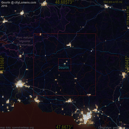
Analysis of Gourin night lights 2016
Square area 10x10 km:
 0%
0%90-99
0%80-89
0%70-79
0.6%60-69
0.6%50-59
0%40-49
0.6%30-39
0.6%20-29
0%10-19
0%0-9
97.62%Square area 50x50 km:
0.06%90-99
0.08%80-89
0.01%70-79
0.19%60-69
0.12%50-59
0.18%40-49
0.06%30-39
0.13%20-29
0.25%10-19
0.03%0-9
98.89%Clear (daylight) street map image can be seen on geolist.org.
Map coordinates:
48° 36' 20.6" North, 4° 18' 38.4" West
48° 8' 19.2" North, 3° 36' 27.2" West
47° 40' 2.3" North, 2° 54' 15.9" West
Some cities around Gourin sort by population:
• Quimperlé
30.5 km =19 mi,  171°
171°
• Carhaix-Plouguer
15.5 km =9.6 mi,  9°
9°
• Ergué-Gabéric
34.7 km =21.6 mi,  242°
242°
• Moëlan-sur-Mer
36.1 km =22.4 mi,  182°
182°
• Rosporden
25.4 km =15.8 mi,  221°
221°
• Scaër
13.6 km =8.5 mi,  210°
210°
• Plouay
32.2 km =20 mi,  140°
140°
• Bannalec
23.9 km =14.9 mi,  196°
196°
3015522 (p: 5,005)
Sources (retrieved 2019-11-25):
» Earth at Night: Flat Maps 2012, 2016