Dunkerque night lights from space
Night Light of Dunkerque (Hauts-de-France) from space (France) Src. Average luminocity for 10x10km area is 61.4091% and for 50x50km: 11.4011%.
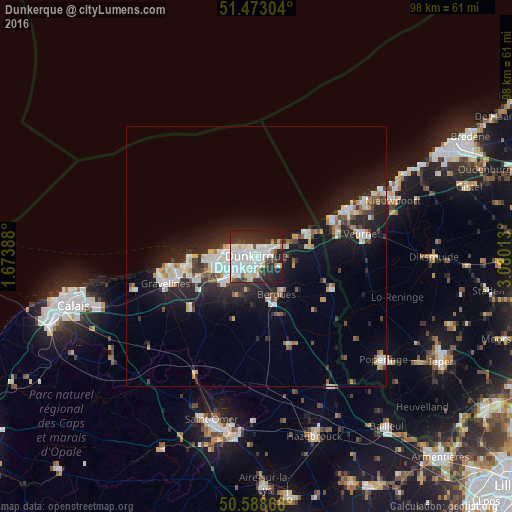
Analysis of Dunkerque night lights 2016
Square area 10x10 km:
 23.13%
90-99
19.79%80-89
4.14%70-79
1.34%60-69
1.47%50-59
1.87%40-49
4.68%30-39
8.82%20-29
22.59%10-19
12.17%0-9
0%Square area 50x50 km:
2.33%90-99
2.55%80-89
0.91%70-79
0.82%60-69
0.78%50-59
0.89%40-49
1.1%30-39
1.6%20-29
4.17%10-19
9.11%0-9
75.73%Clear (daylight) street map image can be seen on geolist.org.
Map coordinates:
51° 28' 22.9" North, 1° 40' 26" East
51° 1' 58.7" North, 2° 22' 37.2" East
50° 35' 19.2" North, 3° 4' 48.5" East
Some cities around Dunkerque sort by population:
• Coudekerque-Branche
1.6 km =1 mi,  134°
134°
• Saint-Pol-sur-Mer
2.6 km =1.6 mi,  265°
265°
• Grande-Synthe
5.7 km =3.5 mi,  250°
250°
• Cappelle-la-Grande
3.9 km =2.4 mi,  199°
199°
• Téteghem
5 km =3.1 mi,  108°
108°
• Bourbourg
15.8 km =9.8 mi,  233°
233°
• Loon-Plage
11.9 km =7.4 mi, 249°
• Leffrinckoucke
6.1 km =3.8 mi,  88°
88°
3020686 (p: 71,287)
Sources (retrieved 2019-11-25):
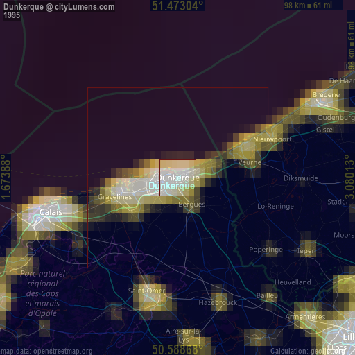
» NASA, Earths city lights 1995
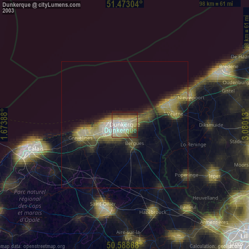
» NASA city lights 2003
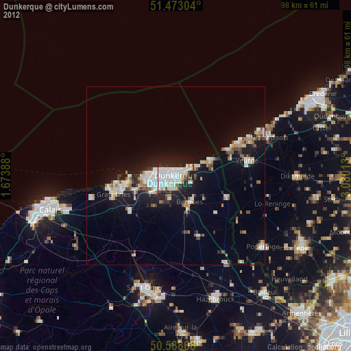
» Earth at Night: Flat Maps 2012, 2016