Coudekerque-Branche night lights from space
Night Light of Coudekerque-Branche (Hauts-de-France) from space (France) Src. Average luminocity for 10x10km area is 56.7353% and for 50x50km: 11.8012%.
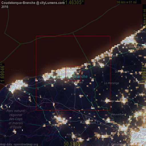
Analysis of Coudekerque-Branche night lights 2016
Square area 10x10 km:
 19.39%
90-99
16.84%80-89
4.68%70-79
1.6%60-69
2.14%50-59
1.6%40-49
4.95%30-39
10.56%20-29
22.46%10-19
14.97%0-9
0.8%Square area 50x50 km:
2.38%90-99
2.63%80-89
0.96%70-79
0.85%60-69
0.8%50-59
0.96%40-49
1.11%30-39
1.68%20-29
4.2%10-19
9.43%0-9
74.99%Clear (daylight) street map image can be seen on geolist.org.
Map coordinates:
51° 27' 47" North, 1° 41' 25.7" East
51° 1' 22.4" North, 2° 23' 36.9" East
50° 34' 42.6" North, 3° 5' 48.2" East
Some cities around Coudekerque-Branche sort by population:
• Dunkerque
1.6 km =1 mi,  314°
314°
• Saint-Pol-sur-Mer
3.9 km =2.4 mi,  283°
283°
• Grande-Synthe
6.6 km =4.1 mi,  262°
262°
• Cappelle-la-Grande
3.6 km =2.2 mi,  223°
223°
• Téteghem
3.6 km =2.2 mi,  97°
97°
• Bourbourg
16.2 km =10.1 mi,  238°
238°
• Loon-Plage
12.7 km =7.9 mi, 256°
• Leffrinckoucke
5.1 km =3.2 mi,  75°
75°
3023356 (p: 25,201)
Sources (retrieved 2019-11-25):
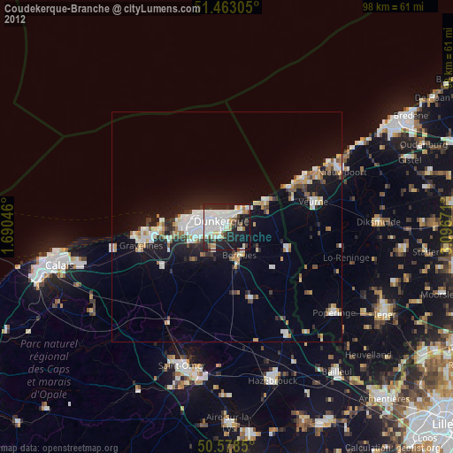
» Earth at Night: Flat Maps 2012, 2016