Angoulême night lights from space
Night Light of Angoulême (Nouvelle-Aquitaine) from space (France) Src. Average luminocity for 10x10km area is 52.1697% and for 50x50km: 3.9205%.
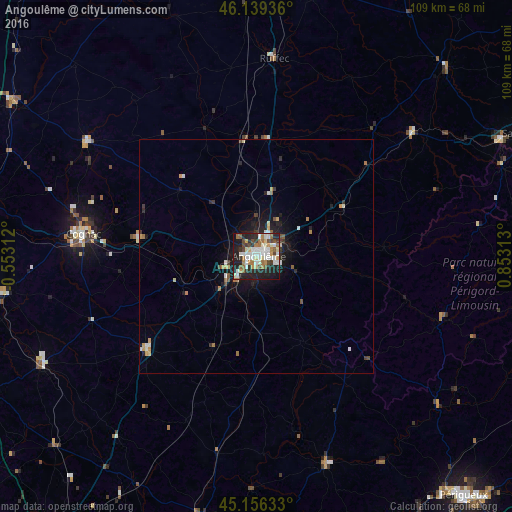

Analysis of Angoulême night lights 2016
Square area 10x10 km:
 11.06%
90-99
14.09%80-89
4.39%70-79
4.7%60-69
7.58%50-59
5.76%40-49
6.21%30-39
5%20-29
18.64%10-19
20.76%0-9
1.82%Square area 50x50 km:
0.54%90-99
0.79%80-89
0.34%70-79
0.46%60-69
0.52%50-59
0.4%40-49
0.41%30-39
0.49%20-29
1.13%10-19
3.02%0-9
91.9%Clear (daylight) street map image can be seen on geolist.org.
Map coordinates:
46° 8' 21.7" North, 0° 33' 11.2" West
45° 38' 59.9" North, 0° 9' 12.4" East
45° 9' 22.8" North, 0° 51' 11.3" East
Some cities around Angoulême sort by population:
• Cognac
37.8 km =23.5 mi,  277°
277°
• Soyaux
3.6 km =2.2 mi,  107°
107°
• Ruelle-sur-Touvre
6.8 km =4.2 mi,  60°
60°
• La Couronne
6 km =3.7 mi,  224°
224°
• Saint-Yrieix-sur-Charente
3.5 km =2.2 mi,  323°
323°
• Gond-Pontouvre
3.8 km =2.4 mi,  15°
15°
• Barbezieux-Saint-Hilaire
30.9 km =19.2 mi,  230°
230°
• Pons
55.1 km =34.2 mi,  261°
261°
3037598 (p: 49,468)
Sources (retrieved 2019-11-25):
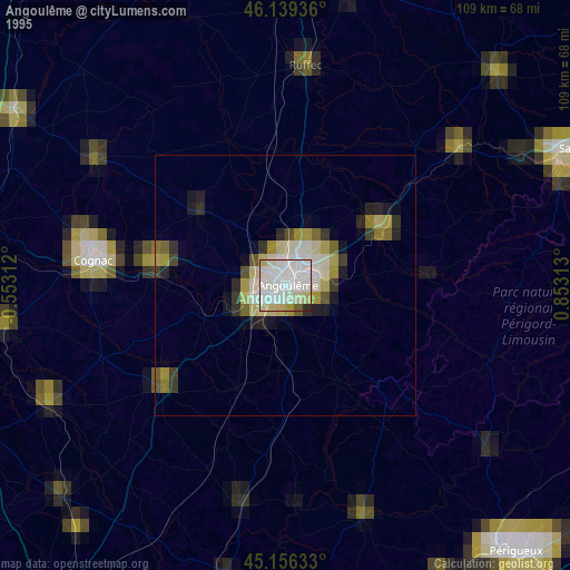
» NASA, Earths city lights 1995
» NASA city lights 2003
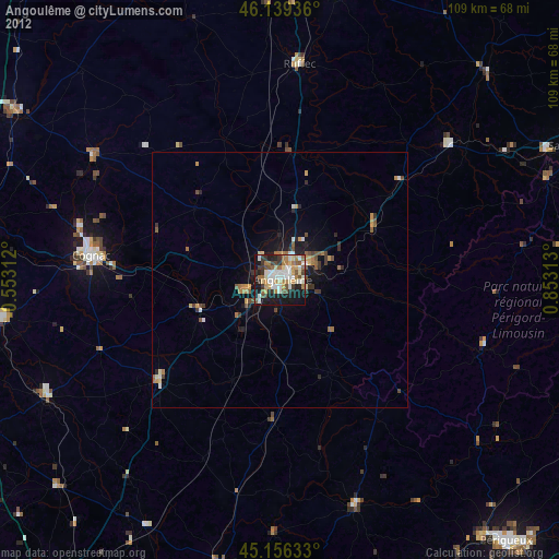
» Earth at Night: Flat Maps 2012, 2016