Ajaccio night lights from space
Night Light of Ajaccio (Corsica) from space (France) Src. Average luminocity for 10x10km area is 35.9397% and for 50x50km: 3.0608%.
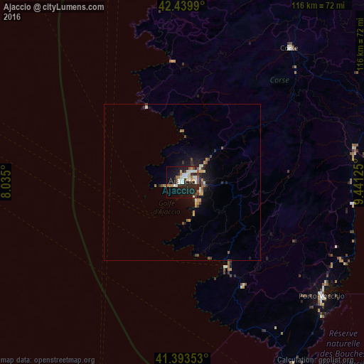
Analysis of Ajaccio night lights 2016
Square area 10x10 km:
 7.78%
7.78%90-99
9.37%80-89
3.97%70-79
2.7%60-69
3.49%50-59
0.95%40-49
2.22%30-39
2.86%20-29
17.46%10-19
26.83%0-9
22.38%Square area 50x50 km:
0.34%90-99
0.58%80-89
0.3%70-79
0.42%60-69
0.31%50-59
0.27%40-49
0.35%30-39
0.35%20-29
1.15%10-19
2.62%0-9
93.3%Clear (daylight) street map image can be seen on geolist.org.
Map coordinates:
42° 26' 23.6" North, 8° 2' 6" East
41° 55' 7.9" North, 8° 44' 17.2" East
41° 23' 36.7" North, 9° 26' 28.5" East
Some cities around Ajaccio sort by population:
• Bastia
105 km =65.2 mi,  33°
33°
• Porto-Vecchio
57.8 km =35.9 mi,  129°
129°
• La Maddalena, IT
96.2 km =59.8 mi,  144°
144°
• Corte
55.1 km =34.2 mi,  37°
37°
• Arzachena, IT
108.3 km =67.3 mi,  149°
149°
• Biguglia
96.7 km =60.1 mi, 35°
• Borgo
90.6 km =56.3 mi, 38°
• Calvi
72 km =44.7 mi,  1°
1°
3038334 (p: 54,364)
Sources (retrieved 2019-11-25):
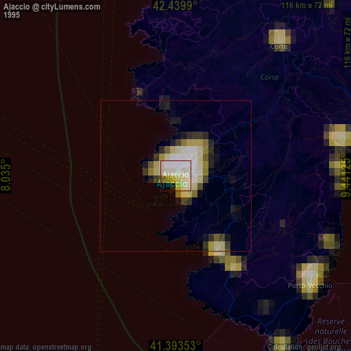
» NASA, Earths city lights 1995
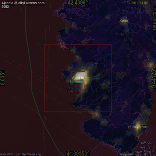
» NASA city lights 2003
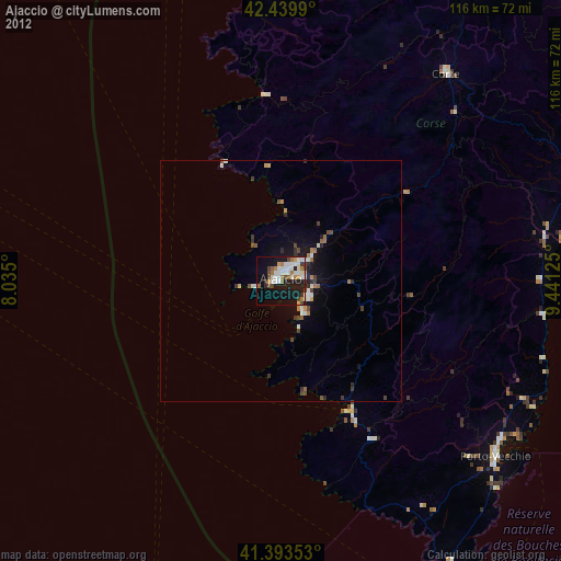
» Earth at Night: Flat Maps 2012, 2016