Aix-en-Provence night lights from space
Night Light of Aix-en-Provence (Provence-Alpes-Côte d'Azur) from space (France) Src. Average luminocity for 10x10km area is 58.4254% and for 50x50km: 27.0281%.
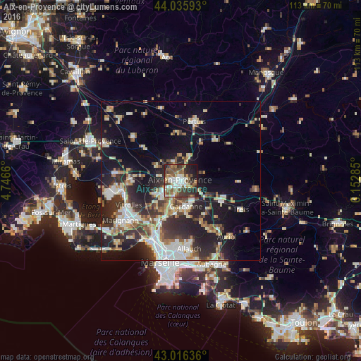

Analysis of Aix-en-Provence night lights 2016
Square area 10x10 km:
 12.54%
90-99
12.22%80-89
4.92%70-79
7.14%60-69
4.29%50-59
17.14%40-49
8.1%30-39
12.54%20-29
13.81%10-19
7.3%0-9
0%Square area 50x50 km:
4.76%90-99
5.41%80-89
3.15%70-79
2.62%60-69
2.78%50-59
3.22%40-49
3.58%30-39
4.79%20-29
8.82%10-19
15.05%0-9
45.81%Clear (daylight) street map image can be seen on geolist.org.
Map coordinates:
44° 2' 9.3" North, 4° 44' 47.8" East
43° 31' 41.9" North, 5° 26' 59" East
43° 0' 58.9" North, 6° 9' 10.3" East
Some cities around Aix-en-Provence sort by population:
• Gardanne
8.3 km =5.2 mi,  169°
169°
• Bouc-Bel-Air
9 km =5.6 mi,  199°
199°
• Cabriès
11.2 km =7 mi,  210°
210°
• Venelles
8.2 km =5.1 mi,  17°
17°
• Fuveau
12.1 km =7.5 mi,  131°
131°
• Éguilles
8.8 km =5.5 mi,  300°
300°
• Simiane-Collongue
10.9 km =6.8 mi,  186°
186°
• Le Puy-Sainte-Réparade
15.1 km =9.4 mi,  355°
355°
3038354 (p: 146,821)
Sources (retrieved 2019-11-25):
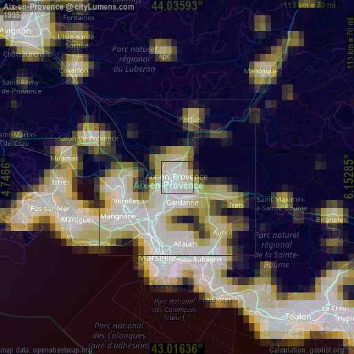
» NASA, Earths city lights 1995
» NASA city lights 2003
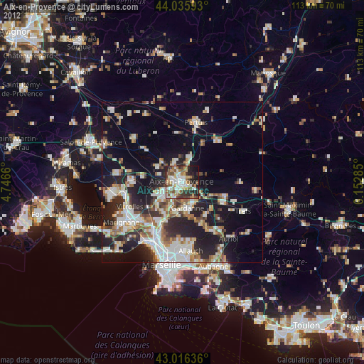
» Earth at Night: Flat Maps 2012, 2016