Agen night lights from space
Night Light of Agen (Nouvelle-Aquitaine) from space (France) Src. Average luminocity for 10x10km area is 50.0348% and for 50x50km: 5.267%.
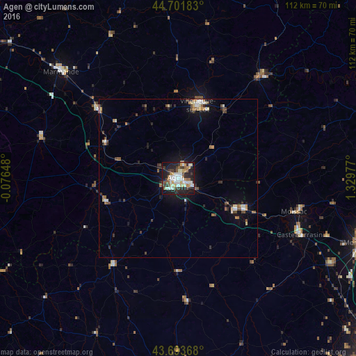
Analysis of Agen night lights 2016
Square area 10x10 km:
 11.67%
90-99
12.12%80-89
3.64%70-79
7.27%60-69
4.09%50-59
5.76%40-49
3.94%30-39
7.42%20-29
18.79%10-19
23.33%0-9
1.97%Square area 50x50 km:
0.75%90-99
0.89%80-89
0.47%70-79
0.62%60-69
0.5%50-59
0.69%40-49
0.74%30-39
0.64%20-29
1.58%10-19
3.44%0-9
89.69%Clear (daylight) street map image can be seen on geolist.org.
Map coordinates:
44° 42' 6.6" North, 0° 4' 35.3" West
44° 11' 59.7" North, 0° 37' 35.9" East
43° 41' 37.2" North, 1° 19' 47.2" East
Some cities around Agen sort by population:
• Villeneuve-sur-Lot
24 km =14.9 mi,  14°
14°
• Tonneins
32.9 km =20.4 mi,  310°
310°
• Le Passage
1.9 km =1.2 mi,  275°
275°
• Nérac
24 km =14.9 mi,  252°
252°
• Sainte-Livrade-sur-Lot
22.3 km =13.9 mi,  352°
352°
• Bon-Encontre
3.7 km =2.3 mi,  116°
116°
• Foulayronnes
4.7 km =2.9 mi,  18°
18°
• Valence
23.4 km =14.5 mi, 115°
3038634 (p: 34,367)
Sources (retrieved 2019-11-25):
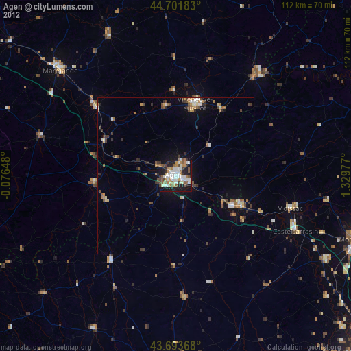
» Earth at Night: Flat Maps 2012, 2016